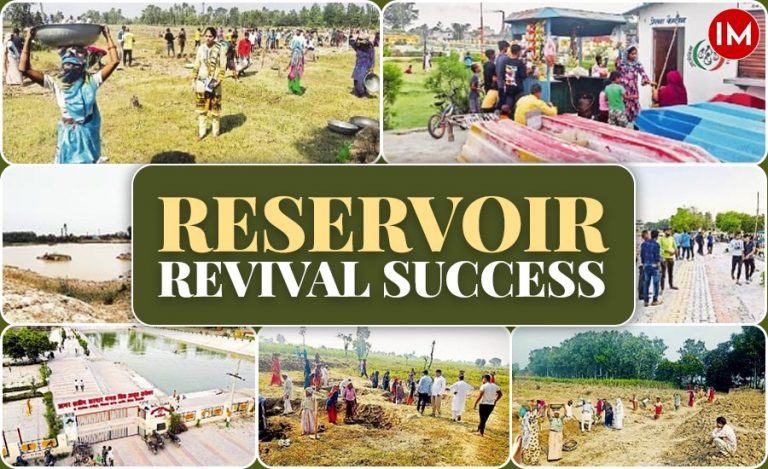
With a shift towards modernized era and penetration of social media in the country, a parallel change has emerged in the functioning of the public administrators. Increasingly, they are making use of digital technology for the betterment of people.
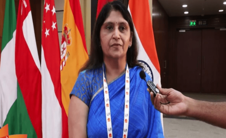
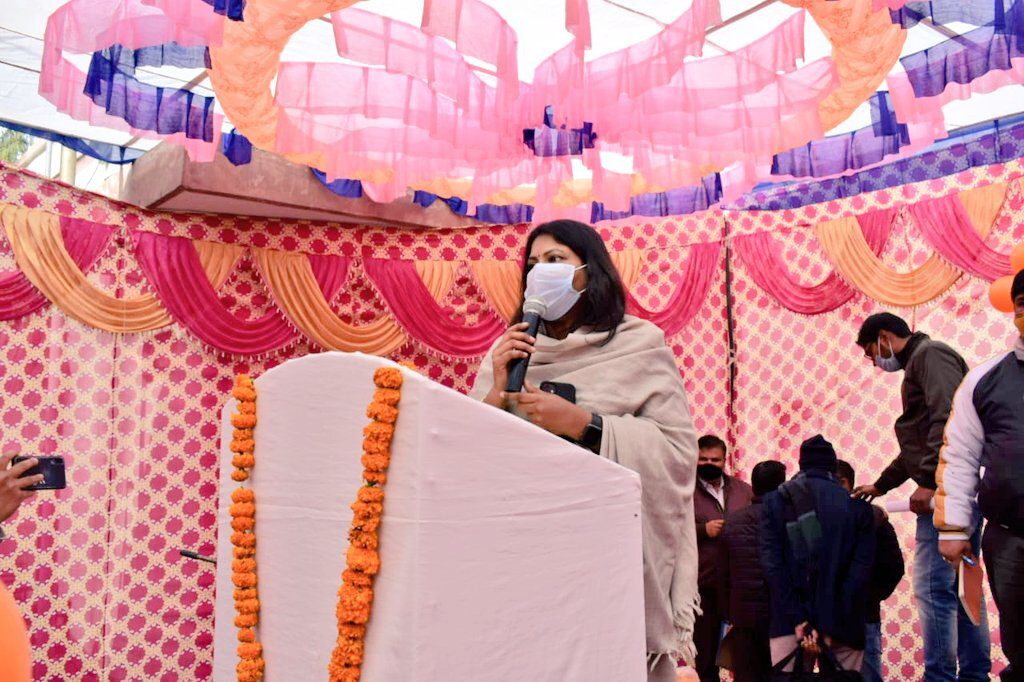
Ms. Selva Kumari J., former DM of Muzaffarnagar in Western Uttar Pradesh, is one such officer. It won’t be wrong to say that she has emerged as a `technology warrior’.
Soon after coming to Muzaffarnagar, she discovered an overwhelmingly large number of land disputes and duplicity of land documents. She decided to take the bull by the horn.
Thanks to the efforts by Ms. Selva, the software ‘Dhara’ (Earth) is being officially launched on 14 January 2020, which is also the day when Makar Sankranti (a Hindu festival) is being celebrated throughout the country.
According to the sources, this software will help fight the long-running land disputes and the illegal occupation of the land mafias in the Muzaffarnagar district. This indeed had become a major issue for several bureaucrats who served in the district. A solution eluded everyone all this while, until Ms. Selva thought of digitalizing the data of all the land packets in the district.
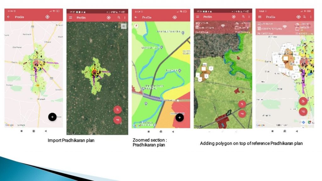
THE IDEA
The main issue which was being faced was that a single land was being used in the government document under various categories. People buying a piece of land were not aware that if the land was legally available to be sold or not. That is when the land mafias were taking advantage. Even the court cases of the disputed land were not recorded anywhere which was becoming an obstacle for the administrators to resolve the issue.
This is when Ms. Selva took help of a private company to build a GIS (Geographic information system) software for which she claimed that no illegal occupation would take place once the software is implemented completely. The software took around two months to build, despite having some delay due to the Covid-19 pandemic and will be soon available on Google Play Store.
Let’s find out how the administration is working on implementing the software in the district.
IMPLEMENTING DHARA
According to the plan, the implementation of the software will be conducted in three phases. At first, with the help of the GIS software, an ID and password is being created for all the village revenue officers (Lekhpals) in the district. The id and password will ensure that a revenue officer will only have access to the lands in his designated village. Also, these revenue officers have been assigned the duty of feeding the title, plot number column and the colour coding of all the landholdings in his village into the system.

In the second phase, the masterplan of the Muzaffarnagar Development Authority (MDA) is being integrated into the software. Through this, people will easily identify if the land is under the MDA or is in the green belt. The green belt is the area where people can do farming activities, but cannot undertake any construction work. There are around 100 villages under the MDA.

Till now, the Muzaffarnagar administration was not aware of all the cases of disputed land which were being heard in civil courts or the High Court. To overcome this, a feature was added to the software. Now officials can access all such disputes pending in various courts. This will help the officials in obtaining prior knowledge about a disputed land and the cases which are being heard for a particular piece of land.
EMPOWERING THE PEOPLE
Another important feature of the software is that provide public access to limited government data (limiting it to 1 km of their location) to prevent any wrong transaction and misuse of the application. Any person who wants to check the status of a particular land, has to be in a radius of one kilometer from the land.
The first two phases have been completed and the third process is under process, which will be completed before the official launch of the software. Once all the information is fed into the system, the app will freeze and only the District Magistrate will have the access to make changes in the records.