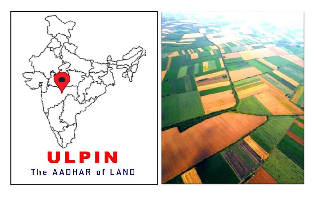
By next year, all land parcels in the country will have a unique identification number, just like citizens have Aadhar numbers. The Unique Land Parcel Identification Number or ULPIN will provide a single, authoritative source of truth of information on any parcel of land or property.
As of now, ULPIN is being implemented in 13 states and was pilot tested in another six states. Once the system is implemented in the entire country, land disputes will get automatically resolved as the unique land ID would help to identify disputed land and prevent its transfer.
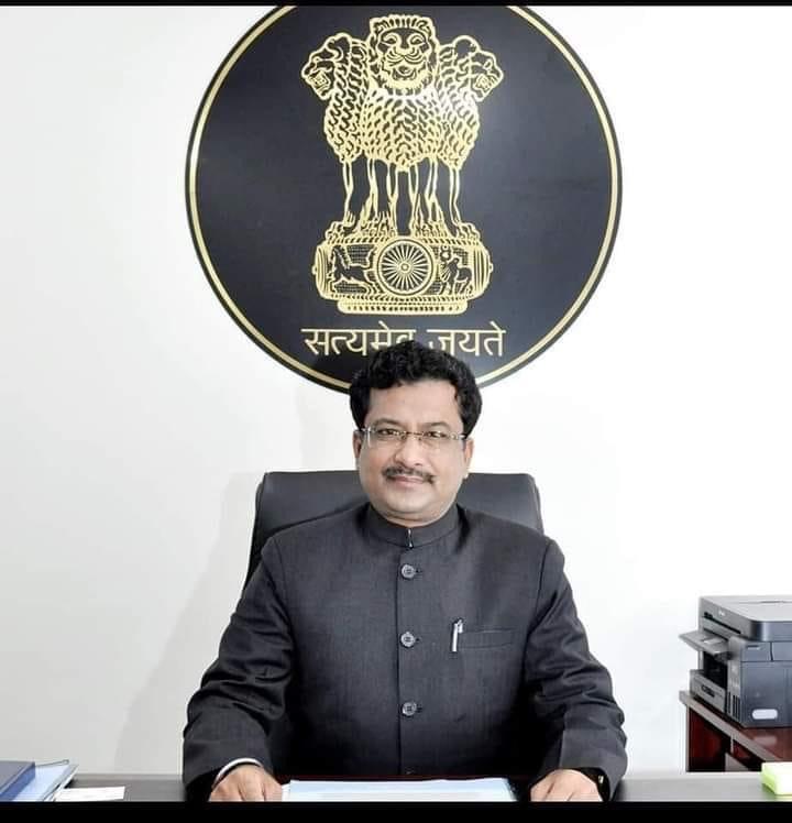
In an exclusive conversation with Indian Masterminds, Joint Secretary of Department of Land Resources, whose division is implementing the ULPIN system, IAS Sonmoni Borah said that ULPIN is a game changer and explained how it will help in resolving land disputes.
THE AADHAR NUMBER OF LAND
ULPIN is the Aadhar number of lands. A unique identification number based on geo-coordinates of the parcels is generated and assigned to the plots. This system helps to share computerised digital land record data among different states and establish a uniform system of assigning a unique ID to every land parcel across the country.
In a recent national workshop of the Department of Land Resources (DoLR) in Delhi, Union Minister Giriraj Singh revealed that 13 states/UTs are already implementing ULPIN. They are Andhra Pradesh, Jharkhand, Goa, Bihar, Odisha, Sikkim, Gujarat, Maharashtra, Rajasthan, Haryana, Tripura, Chhattisgarh and Jammu & Kashmir.
Secretary, DoLR, IAS Ajay Tirkey informed in the same workshop that pan India rolling out of ULPIN would take place by 2022, so that all states and UTs are on board the ULPIN platform and it can be implemented in the nook and corner of the country at the earliest.
Joint Secretary, DoLR, IAS Sonmoni Borah told Indian Masterminds, “ULPIN is a game changer in land records modernisation and titling. Each georeferenced parcel/property is uniquely identified and ECCMA standard compliant. With this, exchange of data associated with parcel will be easy. The system will keep land records always up-to-date and auto update registration/mutation.”

HOW ULPIN HELPS
ULPIN helps in identification and prevention of transfer of disputed lands during transactions such as registration. Since it is a unified ID like Aadhaar number, it would also lead to certificate-less governance.
The standardization of data and application creates effective integration across departments. And, more importantly, assigning unique ID to each land parcel in state, irrespective of the department dealing with land, helps a unified system to track the land, its reconciliation, etc, and bring higher values to all stakeholders.
“A link of all property transactions gets established and delivery of citizen services of land records through single window is thus possible,” Joint Secretary Borah said.
HOW IT IS ASSIGNED
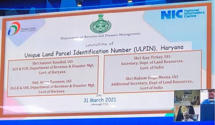
The strategy for assigning unique ID for each land parcel is based on certain situations. Where land has geo referenced latitude/longitude coordinates, there is a formula to generate and assign ECCMA standard prescribed 14-digit Unique ID (PNIU) using the parcel geo referenced coordinate of vertices.
This computationally generated Unique ID is organically dependent on parcel vertices expressed in Lat/Long coordinates (PNIL) and Unique ID (PNIU) would spatially be pointing to the surface of the parcel.
A new Unique ID would be generated by the system itself, as and when mutation takes place, as Lat/Long of Mutated Parcel would be different.
“There are many states which have assigned Unique IDs to Land Parcels that are composite in nature and dependent on administrative unit codes such as district code, tehsil code, village code, etc. Such codes face issues, e.g., in case of reorganisation of boundaries that is quite a common practice. Now, though, it can be managed from the IT angle,” said Joint Secretary Borah.

STATUS OF COMPUTERIZATION OF LAND RECORDS
Mr. Borah further informed that, as of today, computerization of land records has been completed in 600811 villages against a total of 656190 villages, digitization of cadastral maps completed in 1.11 crore maps against a total of 1.63 crore maps, computerization of Sub Registrar Office completed in 4883 offices against a total number of 5220, integration of Sub Registrar Office and Revenue Office completed for 3975 Sub Registrar Offices against a total number of 5220.
“ULPIN will help to cross validate land records related data across departments and sectors. It is being implemented across India with active support and participation of states and UTs,” he said.
UNIFIED LAND INFORMATION SYSTEM (ULIS)
Another important project of the Department of Land Resources, that is in the pipeline, is the Unified Land Information System (ULIS). A system that will achieve transparency in land transactions and provide quality services to users through a single portal.
The objectives of the proposed system are:
1.To identify departments dealing with land that are regulating and rendering Land related services to the citizens, like Revenue, Municipal, Panchayat, Forest, Registration, Survey etc.
2.To identify the services of such departments, including those that are multi-departmental in nature, like mutation of land, land use conversion from agricultural to non-agricultural, etc.
3.To work out a strategy and develop a system to assign Unique ID for each land parcel by the respective states/UTs.
4.To create online Land Information System with open standards APIs (Application Programming Interface) that is based on GIS and OGC compliant, so that other stakeholders could use them online to generate further value.
5.To provide comprehensive information on land and properties, consisting of textual and spatial data.
6.To maintain the consistency of core data across all departments and agencies of the government countrywide.
PILOT PROJECTS FOR ULIS
Joint Secretary Borah said that the Department of Land Resources (DoLR) and National Informatics Centre (NIC) will launch pilot projects in those states and UTs that are at advanced stage of digitization of land records with geo-referenced coordinates to generate Unique ID. After successful implementation of the pilot project, these states and UTs can then approach NIC to formally roll out the system.

