Several government departments and academic institutions from Jharkhand have been actively utilizing the Bhuvan GIS platform, India’s satellite-based geospatial data portal developed by the Indian Space Research Organisation (ISRO). However, the Department of Space (DoS) has confirmed that it has not received any formal reports detailing how the accessed data is being applied in planning, development, or governance.
Also Read: Gujarat to Celebrate World Lion Day 2025 with Grand State-Level Event in Barda Region
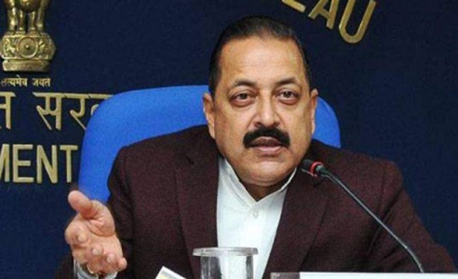
This revelation was made by Union Minister of State (Independent Charge) for Science and Technology, Earth Sciences, and Space, Dr. Jitendra Singh, in a written response in the Rajya Sabha.
LULC Data Accessed, But No Information on Implementation
According to Bhuvan portal access logs, several key agencies from Jharkhand have accessed high-resolution Land Use Land Cover (LULC) data at a 1:10,000 scale via the Bhuvan Panchayat portal. These agencies include:
- Jharkhand Space Applications Centre (JSAC)
- Water Resources Department
- Irrigation Department
- Central University of Jharkhand
Despite this engagement, the Department of Space noted that it does not have information on how these entities have utilized the geospatial data in their respective projects or administrative tasks.
Extensive Use Across Sectors in Jharkhand
A broader list of departments and institutions in Jharkhand have accessed Bhuvan’s satellite-based datasets for various purposes, indicating a wide and growing adoption of geospatial tools:
- Forest, Environment and Climate Change Department
- Rural Development Department
- Jharkhand State Rural Road Development Authority
- Director, Dairy Development, Ranchi
- Directorate of Fisheries
- Jharkhand State Agriculture Marketing Board, Ranchi
- Minor Irrigation Division, Godda
- Urban Development and Housing Department
- District Administration, Khunti
- Dhanbad Municipal Corporation
- Dumka Nagar Parishad
These agencies represent critical sectors such as forestry, agriculture, urban development, irrigation, and infrastructure, all of which can benefit significantly from geospatial planning.
No Gram Panchayat Linked to Satellite Imagery Services Yet
The Department of Space also clarified that no Gram Panchayat in India has yet been integrated with Bhuvan’s satellite imagery or mobile GIS tools for digital land records, property monitoring, or real-time tracking. This indicates a significant gap in the last-mile integration of geospatial technology in rural governance.
Bhuvan: A Powerful Yet Underutilised Tool for Smart Governance
Developed by ISRO, Bhuvan offers freely accessible satellite imagery, spatial data, and GIS tools to government bodies, researchers, and the public. It is envisioned as a core digital infrastructure to support smart governance, project monitoring, and transparency in development programmes.
While Jharkhand’s departments are increasingly engaging with Bhuvan’s capabilities, experts stress the need for:
- Structured documentation of how data is applied
- Outcome tracking to assess the impact on governance
- Integration with local governance systems, such as Gram Panchayats
Call for Better Local Integration and Reporting
The Centre has underlined the need for improved coordination between data users and data providers, particularly at the state and district levels. Without clear feedback loops and impact assessments, the true potential of Bhuvan in enhancing governance and planning remains largely untapped.
As Jharkhand continues to explore space-based geospatial tools, the challenge ahead lies not in access, but in application, accountability, and measurable outcomes.