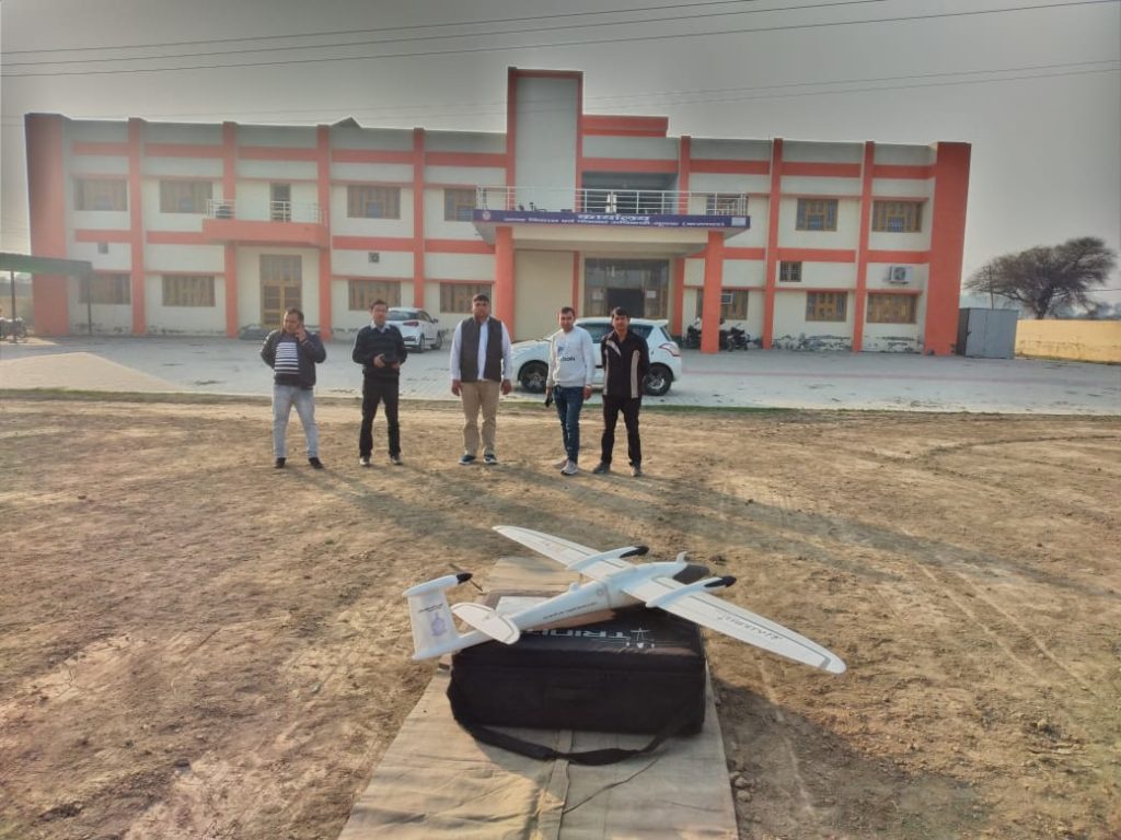
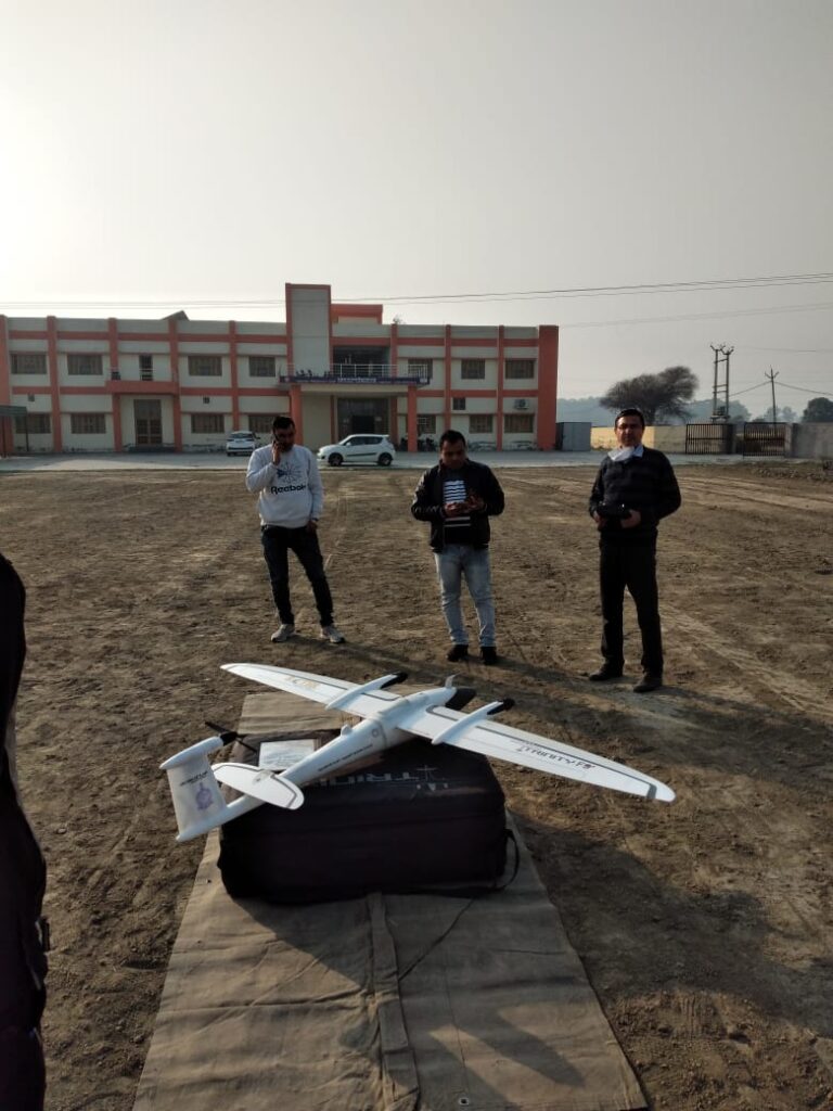
Yet another time an IAS officer has found out a solution to tackle one of the biggest drawbacks in the country through technology. District Collector Karnal, Nishant Yadav’s innovative initiative is now being taken up by the Haryana government as well.
Nowadays, technology is on the driving seat. With a digital transformation from old to new India, many things are now driven by technology. Just like the tradition ‘Bahi-Khata’ and scores of paper sheets has been replaced with a ‘Made in India’ tablet for presenting India’s Budget, the policing in India is also increasingly turning to technology.
This indeed is helping India to overcome the issues it has been dealing with for decades. Unauthorized construction and illegal plotting of land are two widespread crimes which our policing system has failed to tackle. However, Mr. Nishant Yadav, District Magistrate Karnal, Haryana has apparently found a solution to this age-old bane.
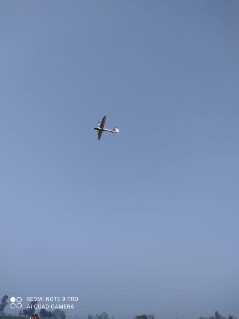
With the help of drone mapping and a 360-degree view camera, the district has successfully launched the initiative to identify illegal constructions in the Karnal district. A spectacular achievement, it is likely to be replicated in the whole state.
IDENTIFYING THE PROBLEM
In a telephonic interview with Indian Masterminds, Mr. Yadav said “Unauthorized construction usually takes place when people start construction of buildings, colonies, etc. without prior permission or approval of the map from the local municipal corporations. Without approval, people construct buildings according to themselves, and often illegally. This daunting issue was becoming a problem for the administration.
“I came across a number of complaints regarding this. We ensured that there was a physical check and balance by the corporation staff. However, the area of the district is too big for the staff to practically check every illegal construction physically. We wanted to involve technology to overcome this issue. Soon, while working on the project, we got the idea of starting drone mapping of the district.”
Thus began, in June 2020, the drone-mapping of all the 20 municipal wards of Karnal.
ZEROING IN ON UNAUTHORIZED BUILDINGS
The project started with operating/flying the drone all over the district. Mr. Yadav said, “While doing this, we ascertain the entire status about the overall construction in the area. Apart from this, we also took a ground vision of the entire district by operating a 360-degree view camera on the top of a car. By initiating both these operations, we got a holistic view from above as well as the ground.

“On the basis of this, we prepared a detailed map of the district in the month of June-July, when the initiative was launched. By taking an overall view of the district from drone mapping and 360-degree camera every month, we compared the additional construction which took place in the district in subsequent months”, he added.
The data is then matched with the permissions authorized by the municipal corporation in that particular month. If the permissions have been taken and the map is approved by the municipal corporation, the construction is considered legal.
ACTION TAKEN BY THE ADMINISTRATION
Mr. Yadav said, “While checking the map every month, we discovered that there was a very low percentage of construction of unauthorized buildings as compared to the overall construction in the district. However, as it is an illegal practice, the administration straight away issues notice to the concerned people. Thereafter, if the replies are not satisfactory, we start with demolishing those buildings, colonies, etc. Recently we have also demolished three colonies which were under-going the construction process”, he added.
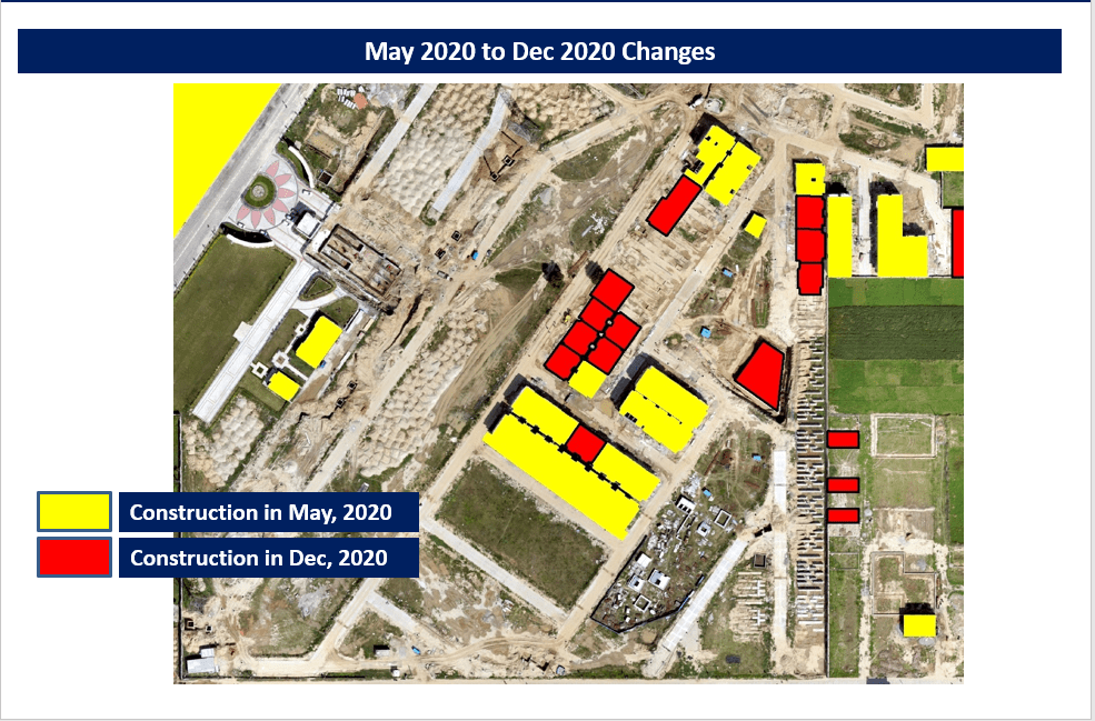
After its success in Karnal, the initiative is being taken up by the Haryana Government in several other areas as well. It’s learnt that during the coming month, all the districts of the state would start using this method to stop illegal constructions.

