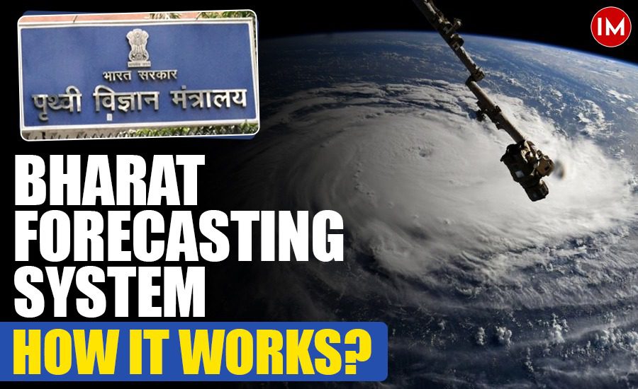
New Delhi: In a landmark development for meteorology in India, the government on Monday launched the Bharat Forecasting System (BFS) – the world’s highest-resolution weather model operating on a 6-kilometre grid. This cutting-edge numerical weather prediction system enables the government to offer highly localized forecasts, down to the panchayat level, significantly improving the accuracy of small-scale weather pattern predictions.
Developed indigenously by researchers at the Indian Institute of Tropical Meteorology (IITM), including notable scientist Parthasarathy Mukhopadhayay, BFS leverages the powerful new supercomputer Arka, installed at the IITM campus last year. The supercomputer boasts an impressive processing capacity of 11.77 petaflops and a storage capacity of 33 petabytes, enabling the BFS to perform complex weather simulations at unparalleled speeds.
Addressing India’s Increasing Extreme Weather Challenges
The launch of BFS comes at a critical time as India grapples with severe and frequent extreme weather events. This month alone, intense dust storms and thunderstorms in Delhi and the National Capital Region caused at least 12 fatalities, disrupted flight operations, and resulted in widespread waterlogging and power outages. These incidents underscored the need for more precise forecasting to improve disaster preparedness and infrastructure resilience.
According to IITM scientists, BFS has already been tested experimentally since 2022, demonstrating a 30% improvement in extreme rainfall forecasts and a 64% improvement in rainfall predictions over the core monsoon region. Furthermore, cyclone track and intensity forecasts have seen marked enhancements. This progress is attributed in large part to the enhanced computing power of Arka, which reduces forecasting runtime from 10 hours to just 4 hours.
How Bharat Forecasting System Enhances Accuracy
The BFS model predicts weather on a 6 km x 6 km grid, compared to earlier models that operated at 12 km resolution. This finer grid enables meteorologists to issue more localized weather warnings and nowcasts – short-term forecasts up to the next two hours.
A network of 40 Doppler Weather Radars across the country feeds real-time data into BFS. The plan is to expand this network to 100 radars, ensuring comprehensive nowcasting capabilities nationwide.
IITM director Suryachandra Rao explained that BFS provides 6 km resolution forecasts across the tropics (30°S to 30°N), with slightly lower resolution (7-8 km) near the poles. This surpasses the global forecast models used by Europe, Britain, and the US, which operate on 9 to 14 km grids.
How the Bharat Forecasting System Works
The Bharat Forecasting System (BFS) is a numerical weather prediction model that uses advanced computer simulations to predict weather patterns with unprecedented precision. Here’s how it works:
- Data Collection from Observations: BFS gathers real-time atmospheric data from a vast network of instruments, including 40 Doppler Weather Radars spread across India. These radars measure rainfall intensity, wind speed, and storm movement in fine detail. This network is planned to expand to 100 radars to improve coverage further.
- High-Resolution Grid System: The model divides the atmosphere into a grid of 6 km by 6 km squares, a much finer scale compared to previous models that used 12 km grids. This finer grid allows BFS to capture small-scale weather phenomena like localized thunderstorms and heavy rainfall more accurately.
- Supercomputer Processing Power: The heart of BFS is the supercomputer Arka installed at the Indian Institute of Tropical Meteorology (IITM). With a processing power of 11.77 petaflops, Arka crunches enormous volumes of data using complex mathematical equations that simulate atmospheric physics. This supercomputer runs the weather model much faster than before, reducing forecast times from 10 hours to around 4 hours.
- Mathematical Simulation of Weather: BFS uses numerical equations that represent atmospheric processes – such as temperature changes, humidity, wind patterns, and air pressure – to simulate how weather systems evolve over time. By iterating these calculations across each grid cell, BFS predicts weather developments up to several days ahead.
- Localized Forecast Output: The system produces detailed forecasts that can zoom into very local areas, including small towns and panchayats. This enables authorities and citizens to receive timely and precise weather warnings, allowing better preparation for events like heavy rainfall, cyclones, or heatwaves.
- Continuous Updates and Nowcasting: BFS incorporates data continuously from weather radars and satellites, updating forecasts frequently. This capability allows for “nowcasting” – very short-term forecasts covering the next 1-2 hours – essential for warning about rapidly developing weather events.
By combining cutting-edge computing, high-resolution data, and advanced simulation techniques, BFS significantly enhances India’s ability to predict and prepare for weather extremes.
Strategic Benefits Beyond Meteorology
Union Earth Sciences Minister Jitendra Singh officially dedicated the BFS to the nation, calling it a “major leap in India’s self-reliance in meteorological sciences.” The system’s enhanced granularity will support disaster risk reduction, agriculture planning, water resource management, and public safety.
Mrutyunjay Mohapatra, Director General of the India Meteorological Department (IMD), highlighted BFS’s importance for strategic sectors like defense and emergency response, emphasizing its role in improving rescue and relief operations.
Economic Implications of Improved Weather Forecasting
India’s economy, particularly its agricultural sector, is heavily impacted by weather variability. The government’s latest Economic Survey pointed out that extreme weather events have caused increasing crop damage, exacerbating food inflation – already a persistent issue over the past two years.
Data from the Centre for Science and Environment (CSE) showed crop damage in 2024 surpassed that of previous years due to extreme weather. IMD data revealed a steep rise in heatwave frequency between 2022 and 2024, with heatwaves occurring on 18% of days, up from 5% in 2020-21.
The Reserve Bank of India also warned about the impact of weather anomalies on vegetable prices, advocating faster adoption of temperature-resilient crop varieties to stabilize prices.
The improved accuracy of BFS is expected to aid in developing climate-resilient agriculture, minimize crop losses, and stabilize food inflation, benefiting the economy in the long run.
India’s Meteorological Journey: From 1994 to the Present
India’s foray into numerical weather prediction began in 1994 with its first numerical model, followed by the Climatology and Persistence Model in 1999. Since then, India relied heavily on global forecasting models.
The Bharat Forecasting System marks a new chapter as a superfine global numerical model developed entirely in India. This indigenous model demonstrates the country’s growing technological prowess in meteorology and climate science.
What Are Numerical Weather Models?
Numerical weather models simulate atmospheric processes using mathematical equations and real-time observational data. These models help predict weather patterns by analyzing variables such as temperature, humidity, wind speed, and pressure on a global scale.
BFS’s improved resolution and computational power allow for faster and more precise simulations, essential for timely warnings and effective disaster management.
In summary, the launch of Bharat Forecasting System represents a significant milestone in India’s meteorological capabilities, promising more accurate, localized weather forecasts that will bolster public safety, agricultural planning, and economic stability amidst growing climate challenges.