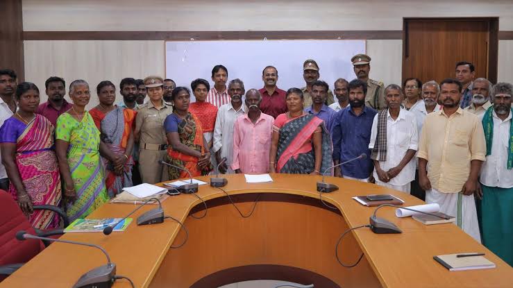
It has taken 15 years for tribal settlements of Coimbatore to beaccorded Community Forest Rights (CFR) as per Forest Right Act of 2006. This was the first case in Tamil Nadu wherein Community Forest Rights (CFR) are accorded and GPS-based land survey was done.
It took almost two years for the administration to get them these rights using modern technology like GPS based land survey. The survey mapped the forest areas and their survival activities.
Presently, residents of these 13 settlements can collect minor forest produce including arappu, honey, tamarind, grass for broom making, shikkakai, kadukkai, pochakai, mango, amlafrom the forest without paying the nominal fee they used to pay to the Village Forest Committee before. This happened as two clusters – Pilloor and Palamalai agreed to share their areas and hence were given CFR. They have also been given the right of way to 29 temples and 3 traditional burial grounds inside forest.
CHALLENGES
While speaking to Indian Masterminds, former DC of Coimbatore GS Sameeran said, “We are blessed with the Western Ghats guarding Coimbatore. These forests are mostly populated with traditional tribals and even primitive tribals. According to the Forest Rights Act, we should provide three layer of rights to them including individual rights, community rights, and community forest right.”

Hence, the administration and the revenue department of Coimbatore adopted the GPS tracking technology to map the whole forest area these tribals use. Earlier, such GPS based mapping for conferring CFR was adopted from a similar process done in Vazhachal Forest Division in Thrissur district, Kerala.
MAPPING THE FOREST AREA
The officials said, “It was a long process as it involved survey of areas, grama sabha sessions, dispute management and documentation work before smoothly handing over the CFR to the communities. According CFR under the FRA is an endorsement of their existing rights in the forest.”

Firstly, tribals were taught to map the forest through GPS instruments along with the forest and revenue officials who came along the way. Maps prepared using the GPS-based survey were handed over to the community heads. The trained tribesmen along with the eldest of each settlement covered dense forest on foot to show the traditional collection points.