New Delhi: In a significant step toward strengthening India’s geospatial capabilities and advancing the national vision of Viksit Bharat 2047, the Survey of India (SoI) under the Department of Science & Technology (DST) will host a National Workshop on Strengthening of Geospatial Ecosystem titled “Geospatial Mission: An Enabler of Viksit Bharat” on 17 December 2025 at Yashobhoomi Convention Centre, Dwarka, New Delhi.
The workshop aims to bring together policymakers, technologists, industry leaders, and domain experts to deliberate on innovations shaping India’s geospatial future.
Background of National Geospatial Mission India
India’s geospatial sector has undergone a transformational shift in recent years, particularly following the announcement of the National Geospatial Mission in the Union Budget 2025–26.
The mission reflects the government’s commitment to integrating cutting-edge geospatial technologies into key sectors such as urban planning, environmental monitoring, infrastructure development, governance, and disaster management.
The Survey of India, the country’s oldest scientific organisation and the national mapping agency, plays a pivotal role in this transformation by modernising geodetic frameworks, strengthening mapping infrastructure, and promoting data-driven decision-making across sectors.
About the National Workshop
The upcoming national workshop is designed as a high-level multi-stakeholder platform to discuss policy direction, technological advancements, and implementation strategies under India’s geospatial mission. The event will focus on aligning India’s geospatial ecosystem with global standards, while also addressing domestic developmental needs.
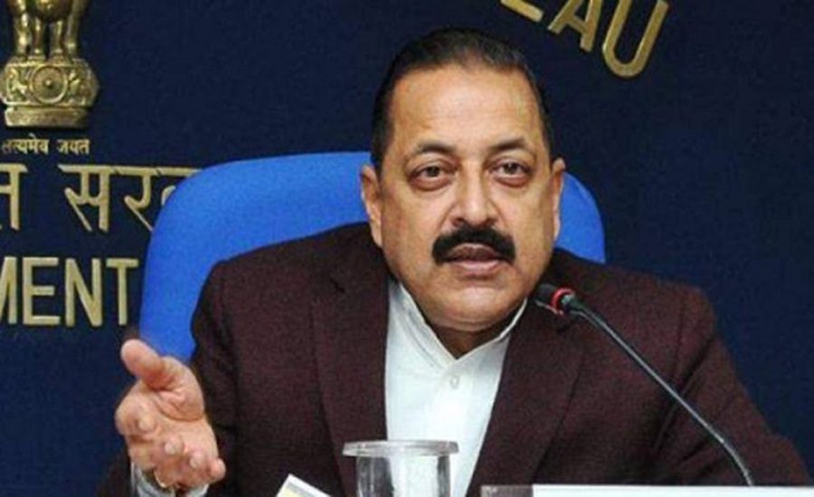
The workshop will be inaugurated by Dr. Jitendra Singh, Hon’ble Minister of State (Independent Charge) for the Ministry of Science & Technology, Ministry of Earth Sciences, and Ministry of Personnel, Public Grievances and Pensions, who will grace the occasion as Chief Guest.
National Geospatial Mission India: Government’s Focus on Collaborative Geospatial Growth
During the workshop, Dr. Jitendra Singh is expected to highlight the government’s emphasis on:
Advancing India’s geospatial capabilities
- Encouraging collaboration between government, industry, and academia
- Unlocking the full economic and strategic potential of geospatial technologies
The government views geospatial infrastructure as a foundational digital public good, crucial for efficient governance, sustainable development, and national security.
Key Focus Areas of the Workshop
The workshop will feature in-depth technical and policy discussions across a wide spectrum of geospatial priorities.
Major focus areas include:
1. Modernisation of the National Geodetic Reference Framework
Strengthening India’s geodetic reference systems to ensure high-precision positioning, which is critical for infrastructure projects, navigation systems, and scientific research.
2. Strengthening Geospatial Data and Mapping Infrastructure
Enhancing data accuracy, accessibility, and interoperability to support large-scale planning and development initiatives.
3. Role of Standards in Harmonising Geospatial Frameworks
Promoting uniform standards to ensure consistency across datasets, platforms, and applications, enabling seamless integration across sectors.
4. Keeping Pace with Rapid Technological Advancements
Addressing emerging technologies in data acquisition, processing, analytics, and digital mapping, including next-generation tools shaping the geospatial domain.
Accelerating Adoption of Future-Ready Technologies
Experts participating in the workshop will explore strategies to accelerate the adoption of future-ready geospatial technologies, particularly in:
- High-resolution data acquisition
- Advanced analytics and processing
- Integration of digital technologies across public and private sectors
The discussions aim to ensure that India’s geospatial ecosystem remains agile and competitive in a rapidly evolving global landscape.
Objective and National Significance of National Geospatial Mission India
The initiative reflects the Survey of India’s commitment to building a robust, standardised, and future-ready geospatial ecosystem capable of supporting India’s long-term developmental goals.
By fostering collaboration among government agencies, industry stakeholders, and technical experts, the workshop seeks to:
- Strengthen national geospatial infrastructure
- Promote informed, data-driven decision-making
- Accelerate implementation of the National Geospatial Mission
A Milestone for Viksit Bharat 2047
Positioned as a landmark event, the workshop is expected to play a crucial role in shaping India’s geospatial roadmap in alignment with the Viksit Bharat 2047 vision. Delegates from government departments, industry bodies, and technical institutions will converge at Yashobhoomi, reinforcing India’s ambition to become a global leader in geospatial innovation and application.