New Delhi: The Centre’s SVAMITVA Scheme is steadily transforming rural governance by giving legal property ownership records to people living in village abadi areas. The scheme has now completed drone surveys in 3.30 lakh villages, while 11,147 loans worth ₹1,713 crore have been sanctioned using SVAMITVA property cards, highlighting the growing financial benefits of secure rural property ownership.
The Ministry of Panchayati Raj is implementing the scheme in collaboration with the Survey of India and state governments. By using drone surveys and Continuously Operating Reference Stations (CORS) technology, the government is preparing highly accurate digital maps that clearly define property boundaries and reduce ownership disputes.
Legal Property Rights for Rural Families
The main objective of the SVAMITVA Scheme is to provide Record of Rights to property owners in rural inhabited (abadi) areas.
Through high-precision drone surveys, every property is mapped accurately before ownership records are prepared. A transparent process of ground verification and dispute resolution ensures that the records are finalised fairly.
Clear property boundaries help reduce land-related disputes while giving rural families legal proof of ownership.
Read Also: Inside The IAF Anti Drone Strategy To Turn Helicopters Into Drone Killers
Property Cards Helping Villagers Access Credit
One of the biggest outcomes of the scheme is improved access to formal finance.
According to the Ministry of Panchayati Raj:
- 11,147 loans have been sanctioned.
- Total loan value has crossed ₹1,713 crore.
- Loans have been issued using SVAMITVA property cards as ownership proof.
This allows rural property owners to use their property records for institutional credit, reducing dependence on informal borrowing.
Drone Technology Driving the Scheme
The Ministry, along with the Survey of India and state governments, is carrying out drone surveys using CORS technology to generate highly accurate GIS-based maps of village abadi areas.
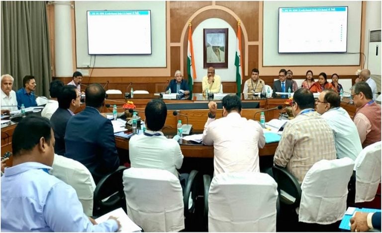
Implementation is monitored regularly through review meetings with states and the Survey of India to ensure timely completion of mapping activities.
So far, drone surveys have been completed in 3.30 lakh villages across the country.
Gram Manchitra Supporting Better Village Planning
The spatial data generated under the SVAMITVA Scheme is also being used through Gram Manchitra, a GIS-based planning platform developed by the Ministry of Panchayati Raj.
The application helps Gram Panchayats:
- Identify infrastructure gaps.
- Prepare better Gram Panchayat Development Plans (GPDPs).
- Monitor development projects.
- Map roads, water bodies, public infrastructure and community assets.
- Improve convergence of government schemes.
By providing a digital view of village resources, Gram Manchitra supports evidence-based planning and more transparent local governance.
A Step Towards Stronger Rural Governance
Beyond property ownership, the SVAMITVA Scheme is emerging as an important tool for rural development. Secure ownership records, digital mapping and better planning are helping villages improve governance, reduce disputes and expand access to financial services.
With drone surveys now covering 3.30 lakh villages and thousands of rural families already benefiting from institutional credit, the scheme is strengthening property rights while laying the foundation for more efficient and sustainable rural development across India.
Read Also: India Plans World-Class Drone Ecosystem To Strengthen National Security