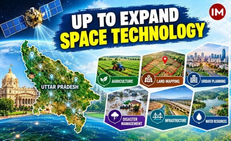
Lucknow: Uttar Pradesh is planning to expand the use of satellite-based technology in governance and development, with applications ranging from agricultural planning and land mapping to urban management, infrastructure development and disaster preparedness.
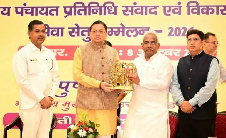
The initiative was discussed at the two-day 11th Space Applications Adoption Workshop, which began in Lucknow on October 8. The workshop was organised jointly by the Remote Sensing Applications Centre, Uttar Pradesh (RSAC-UP), the Indian National Space Promotion and Authorisation Centre (IN-SPACe) under the Department of Space, and the state’s Urban Development Department.
Science and Technology Minister Anil Kumar and Chief Secretary S.P. Goyal inaugurated the event at the Dr Ram Manohar Lohia Uttar Pradesh Academy of Administration and Management. The initiative is aligned with the state’s vision of Viksit Uttar Pradesh-2047.
Land Mapping and Urban Planning Among Key Priorities
Chief Secretary S.P. Goyal (IAS: 1989: UP), called for the geotagging of land parcels across the state to help farmers and landowners obtain accurate information about plot boundaries. He said improved land mapping could also assist in resolving land disputes.
Read Also: UPSIDA Approves Four New Logistics Projects Across UP; 75 Projects Involve ₹14,600 Crore Investment
Goyal also proposed mapping houses across Uttar Pradesh using space applications to strengthen the property-tax system and improve revenue generation for urban local bodies.
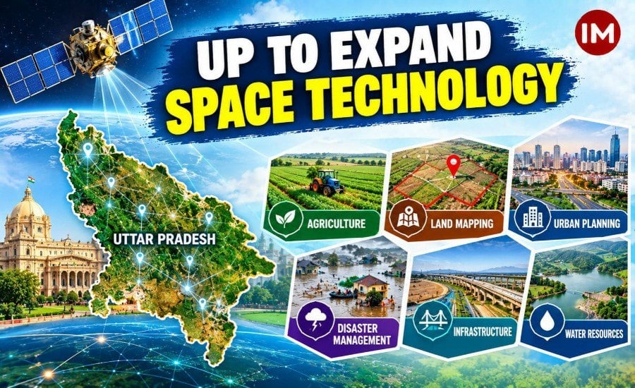
The workshop highlighted several potential applications of satellite data and remote sensing, including:
- Agriculture: Supporting agricultural planning and improving information available to farmers, particularly in areas with limited irrigation.
- Land management: Mapping land parcels and identifying plot boundaries.
- Urban development: Using geospatial information for city planning and property mapping.
- Disaster management: Supporting preparedness and early-warning systems for disasters.
- Infrastructure: Applying space-based information to the planning of roads, bridges and canals.
- Water resources: Improving the assessment and management of water and other natural resources.
These are proposed areas of application; the workshop’s discussions do not establish that all the measures have already been implemented.
Minister Calls for Taking Space Technology to Villages
Science and Technology Minister Anil Kumar urged IN-SPACe experts and industry partners to make space technology accessible beyond research institutions and laboratories, particularly to farmers and rural communities.
He highlighted its potential to support agricultural productivity, especially in areas with limited irrigation, and to help address challenges associated with droughts and floods.
The discussions also covered the use of space applications in public services, including healthcare, education and infrastructure planning.
More Than 50 Departments Participate
IN-SPACe Director Air Vice Marshal D.B. Khot discussed India’s space programme, grassroots development applications and pre-disaster warning systems. He emphasised the importance of adapting space-based solutions to local requirements.
Principal Secretary for Science and Technology Pandhari Yadav outlined the work undertaken by RSAC-UP using satellite-based technology in agriculture, forestry, water and land resources, urban planning, infrastructure and disaster management.
The workshop brought together representatives from more than 50 state departments and districts, including those dealing with agriculture, irrigation, housing, transport, energy, health, education and rural development.
According to reports on the event, 22 industry partners presented technological solutions, while 75 private firms participated. An Urban Geo-Portal and a booklet prepared by RSAC-UP were also released during the programme.
The workshop focused on identifying ways to incorporate space-based applications into departmental planning and public administration as Uttar Pradesh pursues its development goals for 2047.