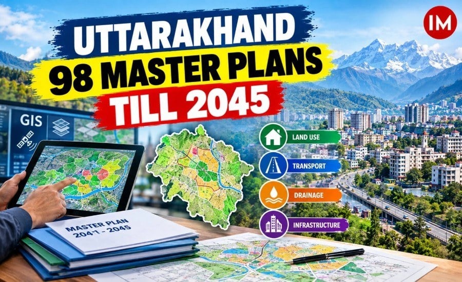
Dehradun: Uttarakhand is preparing 98 master plans for cities and urban local bodies, with the long-term development framework being aligned with projected requirements for 2041 and 2045. The plans are being prepared with a focus on GIS-based urban planning and future infrastructure needs.
The exercise comes as the state works on planning for growing urban areas, including land use, transport, drainage and other urban infrastructure. The Uttarakhand Urban Development Department has also confirmed that GIS-based master plans are being prepared under AMRUT 1.0 and AMRUT 2.0.
How the 98 Master Plans Are Divided
The plans being prepared include:
- 7 cities under AMRUT 1.0
- 23 cities under AMRUT 2.0
- 65 urban local bodies across seven clusters under the Ease of Doing Business initiative
- 3 additional master plans under Chief Minister’s announcements
The seven AMRUT-1 cities are Dehradun, Haridwar, Roorkee, Rudrapur, Kashipur, Nainital and Haldwani.
Under AMRUT-2, the 23 locations include Kotdwar, Srinagar, Pauri, Jaspur, Nagla, Khatima, Kichha, Bazpur, Sitarganj, Gadarpur, Ramnagar, Manglaur, Laksar, Tanakpur, Gopeshwar, Rishikesh, Doiwala, Vikasnagar, Almora, Pithoragarh, Bageshwar, Uttarkashi and Tehri.
GIS to Guide Urban Planning
GIS-based planning will create digital spatial databases and maps that can be used for decisions on land use and infrastructure. The Union Housing and Urban Affairs Ministry says its GIS-based master-planning initiative under AMRUT 2.0 is intended to strengthen urban planning through geospatial databases, digital base maps and GIS-enabled master plans.
For Uttarakhand, the plans are expected to support planning for roads, traffic, drainage, land use and other urban services. The state has also previously used GIS and drone-based mapping for urban property and spatial databases.
Focus on Smaller Urban Bodies
The state government has said the planning exercise also covers smaller urban local bodies, rather than being limited to major cities. Recent state reporting says Uttarakhand is preparing GIS-based plans for second- and third-category urban bodies as part of this wider exercise.
The plans are being prepared with assistance from institutions including the School of Planning and Architecture (SPA), New Delhi; SPA Bhopal; NIT Calicut; NIT Surat; and MNIT Jaipur, according to the state government’s reported planning exercise.
Long-Term Urban Development
Housing Secretary Dr R. Rajesh Kumar (IAS: 2007: UK), said the master plans are being prepared with future requirements in mind and in line with the Chief Minister’s vision for planned urban development.
The government’s stated objective is to establish a longer-term framework for urban growth through these master plans, with 2041 and 2045 serving as the planning horizons. The plans are still at the preparation/finalisation stage, rather than representing completed development projects.
Read Also: Uttarakhand Plans 160-Km Ropeway Network Across 51 Proposed Projects