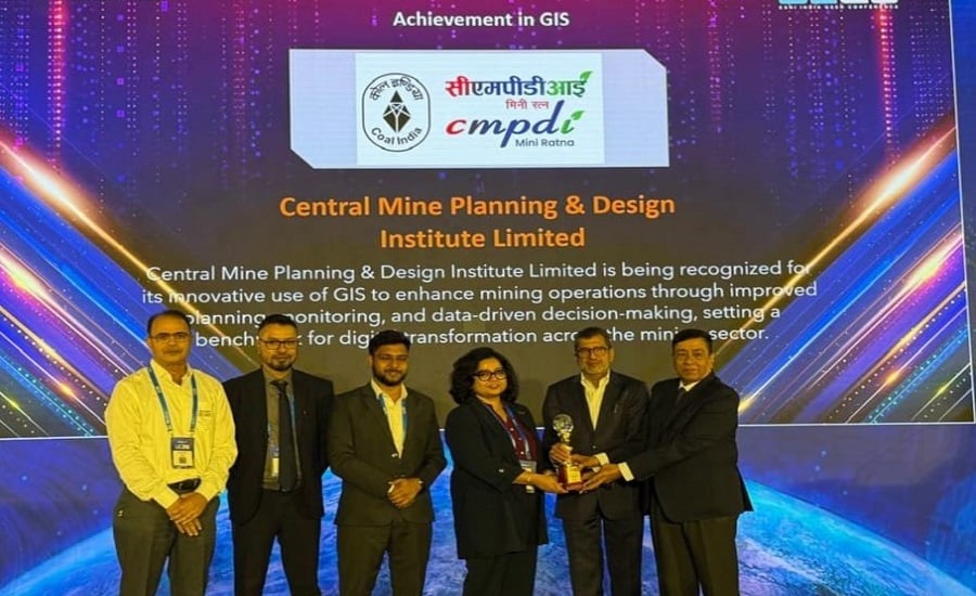
New Delhi: Central Mine Planning & Design Institute Limited (CMPDI) was honoured at the Esri India User Conference 2026, held in New Delhi on September 2, 2026, for its innovative applications of GIS and geospatial technologies.
The recognition highlights CMPDI’s growing capabilities in integrating modern geospatial tools with its expertise in mining, geology, surveying and environmental management.
CMPDI Recognised for Advanced Geospatial Applications
CMPDI uses a combination of advanced technologies to develop spatial decision-support solutions for mining and other developmental applications.
Its key geospatial capabilities include:
- Geographic Information System (GIS)
- Satellite Remote Sensing
- UAV and drone technologies
- Digital Terrain Models (DTMs)
- High-resolution satellite and drone data
- Multi-temporal imagery
These technologies are being used to improve the accuracy and efficiency of mining, surveying and environmental management activities.
GIS and Remote Sensing Support Mine Planning
CMPDI leverages geospatial technologies for a wide range of mining-related applications, including:
- Precise mine planning and surveying
- Block boundary finalisation
- Environmental and land-use monitoring
- Land reclamation studies
- Settlement mapping
- Terrain assessment
The integration of spatial data with mining expertise enables CMPDI to provide detailed and reliable inputs for decision-making.
CMPDI Conducts Drone-Based Sand Replenishment Studies
One of CMPDI’s specialised applications involves drone-based sand replenishment studies.
The institute has successfully undertaken such studies for the state governments of:
- Bihar
- Uttar Pradesh
- Rajasthan
CMPDI analyses pre-monsoon and post-monsoon Digital Terrain Models (DTMs) to determine changes in riverbed terrain and provide accurate assessments of sand volume.
The use of drone-based surveys enables detailed terrain data collection and supports highly accurate volumetric assessment of riverbed sand.
Satellite and Drone Data Enable Accurate Mapping
CMPDI also uses high-resolution satellite imagery and drone data for settlement mapping and terrain assessment.
The institute applies multi-temporal imagery to continuously monitor land reclamation in mining-affected areas. This helps track changes over time and provides valuable information for environmental management and reclamation activities.
Recognition Highlights CMPDI’s Technical Capabilities
The recognition at the Esri India User Conference reflects CMPDI’s expanding capabilities in combining modern geospatial technologies with its core technical expertise.
By integrating GIS, remote sensing and UAV-based solutions, CMPDI is delivering a broad range of geospatial applications across:
- Mining
- Geology
- Surveying
- Environmental management
- Land-use monitoring
- Developmental applications
The recognition underscores the institute’s role in using advanced technology to strengthen spatial analysis and decision-making across multiple sectors.
About CMPDI
Central Mine Planning & Design Institute Limited (CMPDI) is a leading consultancy and engineering organisation in the coal and mining sector. The institute provides expertise in mine planning, geology, exploration, surveying, environmental management and related technical services, while increasingly adopting advanced GIS, remote sensing and drone technologies for modern mining and developmental applications.
Read also: CMPDI Signs Five-Year MoU with Duke University for Critical Minerals and Sustainable Mining