Lucknow: Uttar Pradesh officials have discussed expanding the use of satellite-based applications across agriculture, land management, urban development and disaster preparedness at a two-day Space Applications Adoption Workshop that concluded in Lucknow on October 9.
Organised by the Remote Sensing Applications Centre, Uttar Pradesh (RSAC-UP), in collaboration with the Indian National Space Promotion and Authorisation Centre (IN-SPACe) under the Department of Space and the state’s Urban Development Department, the workshop brought together government officials, scientists and representatives of the geospatial industry.
Science and Technology Minister Anil Kumar and Chief Secretary S.P. Goyal highlighted potential applications of space technology in public administration and development planning.
Geotagging Land Parcels and Mapping Houses
Chief Secretary S.P. Goyal stressed the need to geotag land parcels across Uttar Pradesh to help farmers identify the boundaries of their fields and facilitate the resolution of land disputes.
Read Also: Uttar Pradesh Plans to Expand Space Technology Use Across 50 Departments
He also called for mapping all houses in the state using space applications to support house-tax assessment and help the Urban Development Department increase its revenue resources.
Key proposals discussed included:
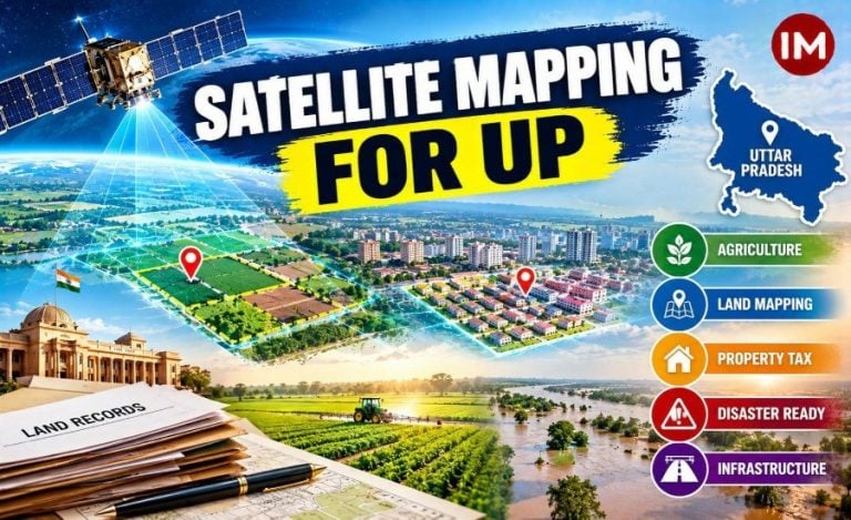
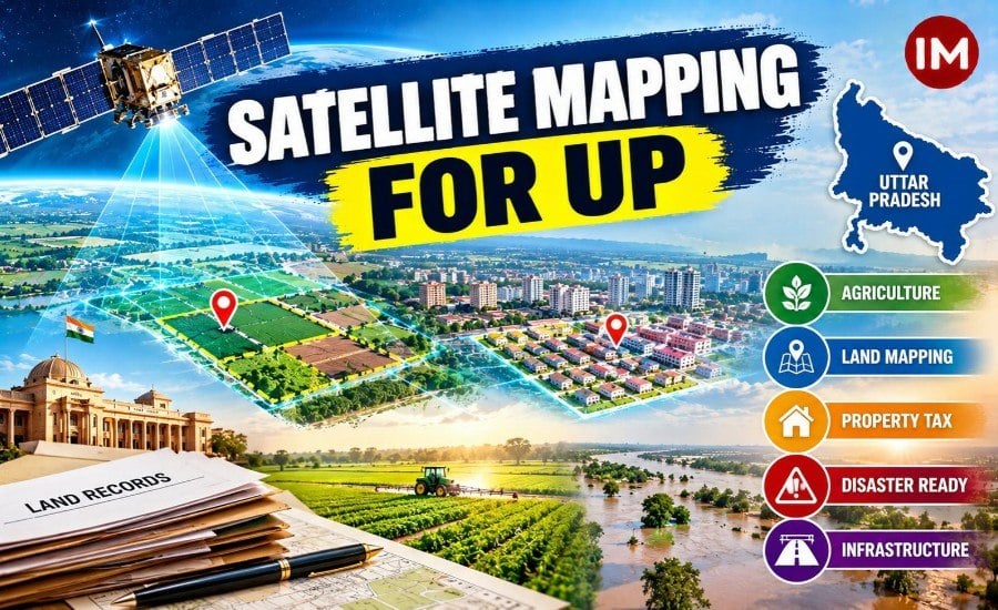
- Land mapping: Geotagging land parcels to provide information about field boundaries and assist in addressing land disputes.
- Property-tax assessment: Mapping houses across the state to support house-tax assessment.
- Agriculture: Applying space technology to improve farming practices and agricultural productivity, particularly in areas with limited irrigation.
- Disaster preparedness: Using satellite-based applications to strengthen preparedness for droughts and floods.
- Infrastructure planning: Applying scientific methods to the planning of bridges, roads and canals.
These were proposals and areas of potential application discussed at the workshop, rather than confirmation that all the measures have already been implemented.
Space Technology for Agriculture and Public Services
Minister Anil Kumar urged IN-SPACe experts and industry partners to help expand the practical use of space technology in rural areas and across government departments.
He highlighted its potential to improve farming practices, increase crop yields in areas with limited irrigation and support responses to droughts and floods.
The minister also called for the use of space applications in governance, healthcare facilities and education networks as part of the state’s Viksit Uttar Pradesh 2047 vision.
Scientists from the Department of Space, the Geological Survey of India, RSAC-UP and the Council of Science and Technology participated in the workshop, along with district magistrates and representatives of state departments.
Departments and Industry Discuss Technological Solutions
The concluding session featured a round-table discussion involving representatives of state government departments and companies working in space applications.
Participants discussed technological solutions to challenges faced by different departments, with the aim of identifying practical uses for space-based services.
The workshop focused on how satellite applications could support planning and administration across multiple sectors. Any subsequent implementation will depend on the decisions and actions taken by the relevant departments.
Read Also: UP Cabinet Approves Proposal to Rename Jewar Airport After PM Narendra Modi