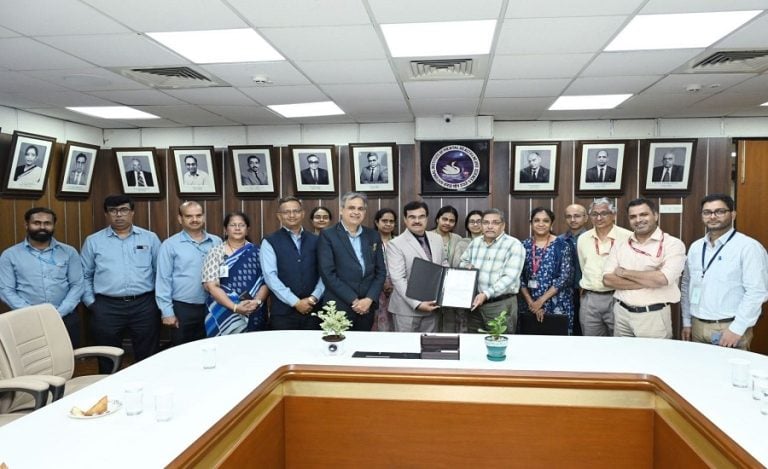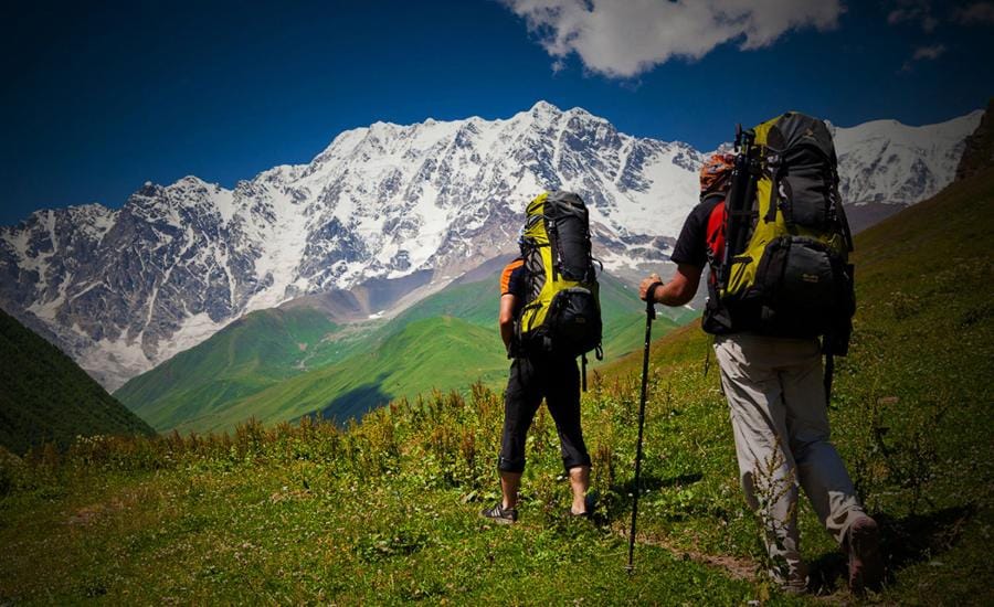
Dehradun: Uttarakhand has launched a major initiative to digitally map 100 prominent trek and hike routes across the state using GPS and GIS technology. Chief Minister Pushkar Singh Dhami on Friday flagged off the teams that will conduct ground surveys and prepare detailed digital maps of the selected trekking routes.
The project, being implemented through the Uttarakhand Tourism Development Council, aims to bring both well-known and lesser-known trekking destinations onto a structured tourism map. Along with improving the trekking experience, the initiative focuses on tourist safety, emergency response, infrastructure planning and sustainable development in the Himalayan region.
The campaign comes as Uttarakhand continues to explore the potential of adventure and trekking tourism in its mountain districts.
GPS-GIS Survey to Capture Ground Reality
The teams will undertake physical surveys of the selected routes and record their geographical details through GPS and GIS technology. The mapping exercise will create a detailed database of the trails and surrounding facilities.
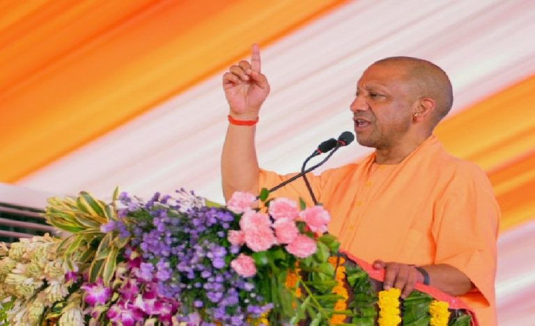
Chief Minister Dhami said modern technology should be used extensively to bring remote and lesser-known trekking routes into the tourism mainstream. He highlighted the potential of adventure tourism in Uttarakhand and said scientific mapping could make trekking more safe, accessible and organised.
The digital mapping will also help authorities understand the actual conditions along different routes and identify areas where additional facilities may be required.
Read Also: 2.67 Lakh Ideas, 140 Young Voices: CM Dhami to Hear “My Dream Uttarakhand” Vision
Offline GPS App Planned for Trekkers
One of the key outcomes of the project will be the development of an online and offline GPS navigation application covering all 100 mapped routes.
According to Tourism Secretary Dheeraj Garbyal, the app will allow trekkers to access important trail and route information on their mobile phones even when network connectivity is unavailable. This could be particularly useful in remote Himalayan areas where mobile networks are often limited or absent.
The navigation system is also expected to support rescue teams during emergencies by providing route-related information and helping them identify the location and access points of trekking trails.
The Tourism Secretary said that after successful implementation, Uttarakhand would become the first state in the country to develop an online and offline GPS navigation app covering all 100 mapped trekking routes.
Mapping Will Support Rescue and Tourist Safety
Tourist safety remains a major focus of the initiative. Scientific mapping of the trails is expected to give trekkers access to more reliable route information while helping authorities plan emergency evacuation and rescue operations more effectively.
The initiative is also linked to the broader planning of trekking infrastructure. During the survey, teams will identify suitable locations for facilities such as:
- Campsites
- Dustbins and waste-management points
- Toilets and sanitation facilities
This information can help authorities plan facilities according to the actual requirements of each trekking route instead of developing infrastructure without detailed ground-level assessment.
The project is also aligned with the state’s tourism planning approach, which gives importance to safety, communication facilities, route signage and emergency evacuation arrangements along trekking trails.
Remote Areas Could Gain Jobs and Tourism Activity
The project is expected to extend tourism opportunities beyond Uttarakhand’s established destinations and bring lesser-known mountain regions to wider attention.
Dhami said increased tourism activity in remote areas could create employment and self-employment opportunities for local communities. These could include guiding, homestays and other tourism-linked services.
The Chief Minister has also directed officials to ensure local participation in the implementation of the project. Greater involvement of residents can help connect tourism growth with local livelihoods while creating a more community-based tourism model.
For young people in remote mountain areas, a rise in trekking activity could open opportunities in guiding, hospitality, transport, food services and other supporting sectors.
Focus on Himalayan Ecology and Sustainable Tourism
While promoting tourism, the state government has also stressed the need to protect Uttarakhand’s sensitive Himalayan ecology.
The identification of designated campsite and waste-management locations through the mapping exercise could help authorities manage tourist pressure more systematically. Better information about routes and facilities may also support planned infrastructure development and reduce unmanaged activity along trekking trails.
The project is therefore being positioned not only as a navigation initiative but also as a tool for science-based and sustainable tourism planning.
DPR and Coffee Table Book to Promote Lesser-Known Treks
The project will also include the preparation of a detailed project report and a coffee table book. These resources are expected to document the mapped trekking destinations and help promote lesser-known routes at national and international levels.
By combining physical surveys, digital mapping, navigation technology and tourism promotion, Uttarakhand is seeking to build a more organised trekking ecosystem.
The initiative was launched in the presence of Cabinet Minister Ganesh Joshi, Additional Secretary Tourism and Additional Chief Executive Officer of Uttarakhand Tourism Development Council Abhishek Ruhela, Additional Director Tourism Poonam Chand and other officials.
The 100-route mapping project could provide Uttarakhand with a structured digital foundation for trekking tourism, while simultaneously supporting tourist safety, emergency response, local employment and better management of the state’s fragile Himalayan environment.
Read Also: Uttarakhand CM Dhami Orders Ground-Level Resolution of CM Helpline 1905 Complaints