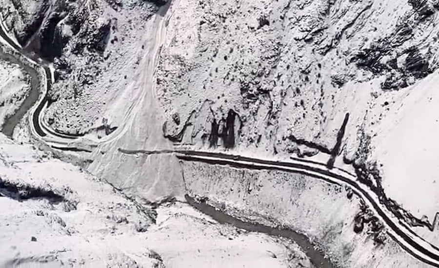
Dehradun: Uttarakhand is planning to strengthen surveillance of potentially hazardous glacial lakes using satellite imagery, remote sensing, drones and sensor-based technology to detect changes that could increase the risk of sudden flooding in downstream areas.
The proposed monitoring network will track indicators such as water levels, lake surface area and storage, along with other abnormal changes in high-altitude water bodies. The plan was reviewed during a meeting at the State Emergency Operations Centre, where officials assessed glacial-lake conditions and broader disaster preparedness in the state.
Technology-Based Monitoring of Glacial Lakes
Officials said scientific monitoring is particularly important in the Himalayan region, where changes in temperature and terrain can affect high-altitude lakes.
Read Also: Uttarakhand: CM Dhami Says Youth Dreams Will Shape a Developed State
The proposed system will combine satellite observations with drone surveys and field-level assessments to identify changes in glacial lakes. An unusual increase in water level or expansion of a lake can indicate a potential hazard, including a glacial lake outburst flood.
The government plans to establish early-warning systems in vulnerable areas so that information about potential threats can reach downstream communities in time.
Early-Warning Systems Planned in Vulnerable Areas
Disaster Management Minister Madan Kaushik directed departments to work with scientific institutions and technical agencies to develop a coordinated monitoring system covering difficult-to-access Himalayan areas.
“Early-warning systems will be installed wherever required so that any abnormal development is detected in time and people in potentially affected areas are alerted well in advance,” Kaushik said.
He added:
“Modern technology can make surveillance of glacial lakes in inaccessible Himalayan regions far more effective.”
The emphasis will be on converting scientific observations into actionable alerts, supported by communication arrangements at the district and village levels.
Round-the-Clock Disaster Preparedness
The meeting also reviewed the state’s monsoon preparedness, including:
- River and rainfall conditions
- Landslide-affected and blocked road stretches
- Rescue and relief operations
- Electricity, drinking water and communication disruptions
- Availability of heavy machinery at vulnerable locations
- Stocking of essential supplies in remote areas
- Coordination among NDRF, SDRF, police, health and other departments
Authorities were instructed to keep excavators, Poclain machines, pumps and drainage equipment ready at locations vulnerable to landslides and waterlogging.
District administrations were also asked to maintain stocks of foodgrains, medicines, fuel and other essential items in remote and sensitive areas where road connectivity could be disrupted.
Travel to Be Regulated According to Weather
The administration will regulate pilgrimage and other travel based on weather forecasts and prevailing road conditions.
Where heavy rainfall or road closures make travel unsafe, travellers may be stopped at designated safe locations and allowed to proceed once conditions improve.
Control rooms will continue to operate around the clock to monitor weather-related hazards and coordinate emergency responses across the state.
Read Also: Uttarakhand Issues Nepal Flood Helpline 1070, SDRF Alert in Border Areas