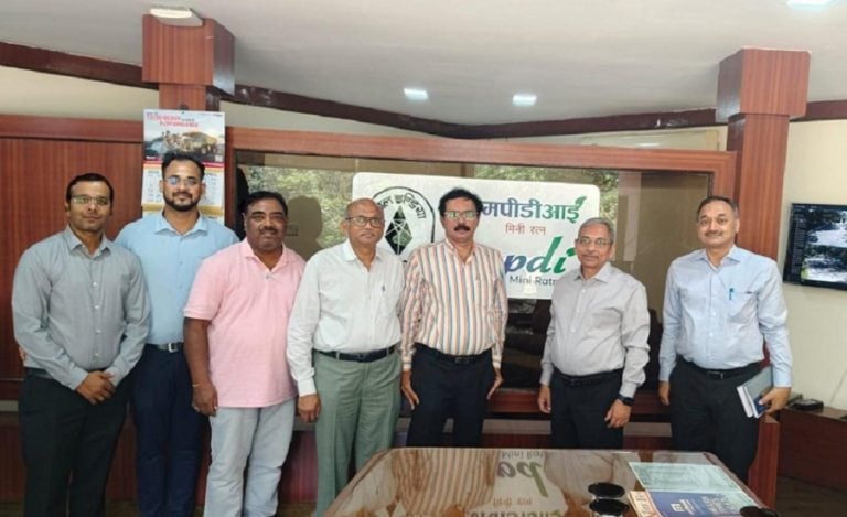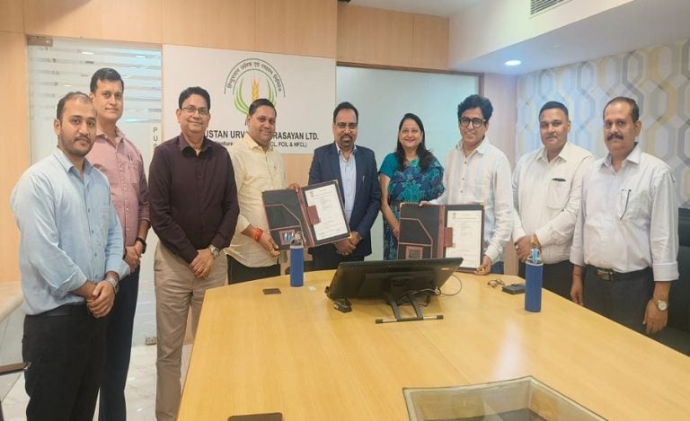
Raipur: The Chhattisgarh government has signed two Memoranda of Understanding (MoUs) with the Bhaskaracharya National Institute for Space Applications and Geo-informatics (BISAG-N) and National Logistics Data Services Ltd (NLDSL) to strengthen the use of geospatial technology and logistics data in infrastructure planning.
The agreements were signed in Raipur on August 20 during the PM GatiShakti and LEADS 2025 Dissemination Workshop, jointly organised by the Chhattisgarh Department of Commerce and Industries and the Department for Promotion of Industry and Internal Trade (DPIIT).
More Than 35 Departments Onboarded
Chhattisgarh has brought more than 35 government departments onto its PM GatiShakti platform. The state has mapped 41 mandatory data layers and more than 600 additional layers to support planning and decision-making.
The platform has also been used to develop 45 use cases and 30 analytical tools, while more than 80 projects have received support through the Annual Action Plan.
GIS Tools Used for Roads, Banking and Public Transport
The state is already applying geospatial technology in several areas. These include identifying road accident black spots, locating villages with inadequate access to banking services and planning bus routes under the Mukhyamantri Majhi Gram Bazar Yojana (MMGBY).
The government has also reported the installation of 600 mobile towers at tourism locations and the finalisation of 700 acres in Nava Raipur under the Bhavya Scheme.
Focus on Logistics and Industrial Planning
The new agreements are intended to strengthen the integration of geospatial information and logistics data into the state’s infrastructure planning framework.
The state is also looking to connect this digital planning infrastructure with its industrial economy, including proposed integrated logistics and cargo aggregation hubs around the Raipur-Bhilai-Durg industrial belt.
Chhattisgarh GEO Portal
Chhattisgarh has developed the Chhattisgarh GEO Portal through the Chhattisgarh Infotech Promotion Society (CHiPS). The platform includes a Department GIS Scorecard, predictive analysis of infrastructure gaps, a GIS-enabled No Objection Certificate system and AI-based planning tools.
Geospatial applications are also being used in areas beyond infrastructure. The Forest Department’s Gaj Sanket application, for instance, uses geographic information to support efforts related to human-elephant conflict.
CM Vishnu Deo Sai on Data-Driven Planning
Chhattisgarh Chief Minister Vishnu Deo Sai said the state’s use of PM GatiShakti was strengthening data-based planning.
“PM GatiShakti is strengthening data-driven decision-making in Chhattisgarh, enabling us to plan infrastructure more effectively, identify connectivity and logistics gaps, and support better-aligned industrial development,” Sai said.
Chhattisgarh was also recognised as a high-performing landlocked state in the DPIIT’s LEADS 2025 assessment.
Read Also: MeitY, PhonePe Sign MoU to Bring Hyperlocal Transaction Data into PM GatiShakti Planning