Forest encroachment is rarely just a matter of removing a structure or clearing a patch of land. Behind every disputed parcel are questions of livelihoods, ownership, records, law and, often, years of administrative complexity.
In Himachal Pradesh’s Rohru Forest Division, IFS officer N Ravisankar Sarma, 2019-batch Himachal Pradesh cadre and Deputy Conservator of Forests, approached the problem differently. For him, reclaiming forest land could not end with eviction orders or possession being taken back. The real task was to ensure that the land remained a forest long after the eviction team had left.
Under his leadership, the Rohru Forest Division successfully retrieved 100 hectares of encroached forest land, while also putting in place measures to protect and restore the reclaimed areas. The initiative has earned him a nomination for the Eco Warrior Award 2026 under the Protected Area Management category.
Also read: IFS Officer N Ravisankar Leads Cheer Pheasant Comeback in Himachal Pradesh
The Difficult Part Was Not Just Eviction
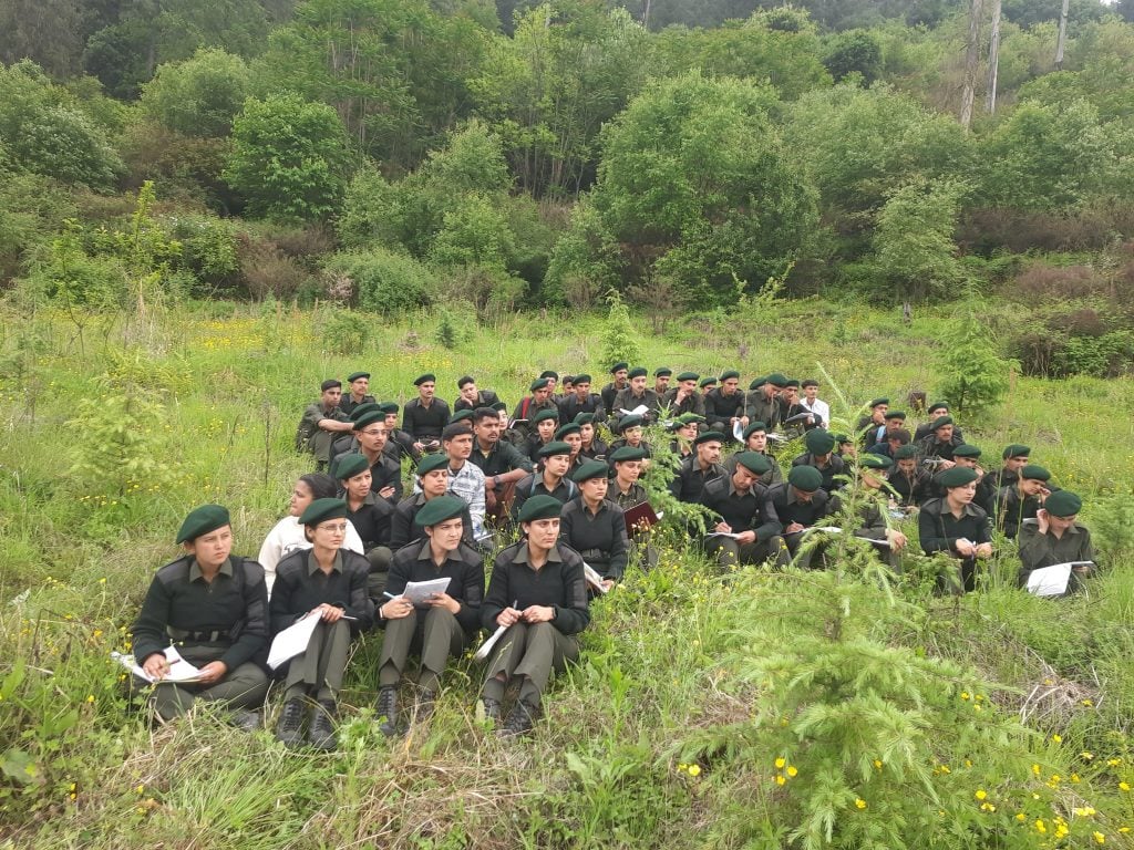
The operation involved 50 forest personnel, 30 labourers and 100 heavy vehicles, reflecting the scale of the field exercise. But the numbers tell only part of the story.
Encroachment removal, Sarma explains, is a sensitive exercise because it directly intersects with people’s livelihoods. It also demands coordination between departments, particularly the forest, revenue and police authorities.
“Encroachment removal is a very sensitive topic because livelihoods are also involved. There is a lot of interdepartmental coordination that has to be done, and the process has to be carried out in a transparent and legal manner so that all the concerned departments are on board during the eviction process,” he shared in an exclusive conversation with Indian Masterminds.
The ground reality made matters more complicated. Land parcels were often small and fragmented, while old records were not always maintained in a consolidated manner. Before an area could be accurately identified and reclaimed, officials had to establish exactly where the forest boundary lay.
The exercise therefore involved not merely mobilising personnel, but educating field staff, consolidating records and carefully planning each eviction.
From Eviction to Ecological Restoration
Sarma’s team was conscious of a familiar problem: reclaimed land can be vulnerable to fresh encroachment if it is simply left vacant. That is why the Rohru division treated eviction and restoration as parts of the same exercise.
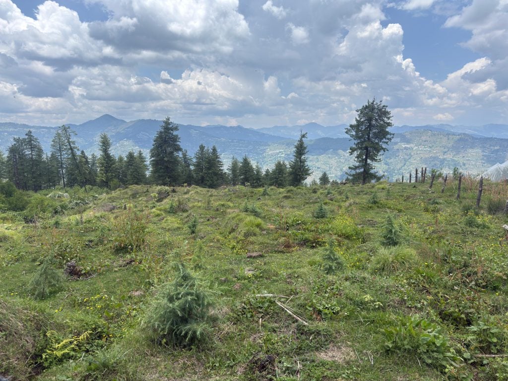
Fencing was undertaken in several reclaimed areas, boundary boards were installed, and plantation programmes were carried out using native species. Rather than directing plantation funds only towards conventional plantation areas, the division channelled resources towards landscapes that had already suffered from encroachment.
“Our idea was not just to reclaim the landscape, but also to restore it. We fenced many of these areas and undertook afforestation programmes so that they would not be encroached upon again. We focused our budgets on restoring the evicted landscapes and planted native species to eco-restore these areas,” Sarma explains.
The division also incorporated rehabilitation of encroachment-evicted areas into its approved working plan, with a dedicated chapter dealing with their restoration. Alongside plantation, ancillary works such as soil and moisture conservation were planned.
The objective was long-term: forest staff would continue visiting and maintaining these areas for years, allowing the reclaimed patches to gradually develop into functioning green spaces rather than remaining forests only on government records.
Drawing a Permanent Line on the Ground
One of the most important safeguards was physical demarcation.
The division installed 475 boundary pillars across reclaimed areas, creating visible and permanent markers to indicate where forest land begins. Fencing and boundary pillars served another purpose too: they made the status of the land clear to people living around it.
Law-and-order considerations were also built into the operation. Large teams of uniformed personnel were planned for field operations, women personnel were included where required, and police assistance was sought wherever necessary.
Technology added another layer of protection. Sarma clarifies that drone mapping was not used for the actual eviction exercise, because the parcels were often too small and required extremely fine ground-level accuracy. Instead, the division relied heavily on GPS-based surveys, geo-tagging and digital polygon mapping.
Every evicted parcel was mapped and converted into a KML file, creating a permanent digital record of its location and boundaries.
Turning Thousands of Files Into a Digital Record
The project also exposed an important administrative gap: the absence of a consolidated database of previously evicted areas.
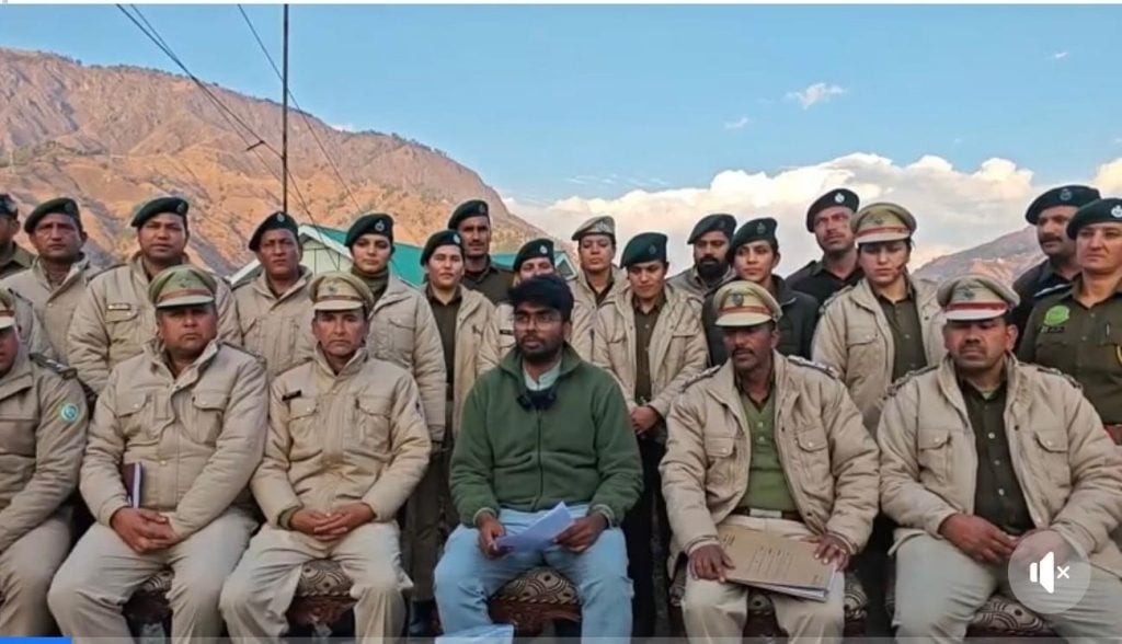
Rohru Forest Division addressed this by digitising its encroachment-related records. The division has more than 2,500 encroachment case files, many of which were converted into scanned PDFs and preserved digitally. Alongside the documentary record, geo-tagged polygons and KML files were created for the reclaimed parcels.
These records are intended to become part of the compartment history and compartment description files of the respective forest areas, giving future forest managers a ready reference.
“Earlier, the records were fragmented and maintained in an isolated fashion. Through this project, we have digitised the case files and created digital KML records for the evicted areas. This gives future managers a permanent reference, so they do not have to keep searching for where the evicted land of a particular forest compartment is located,” Sarma says.
Making Sure the Forest Stays a Forest
For Sarma, the success of the initiative cannot be measured simply by the number of hectares recovered.
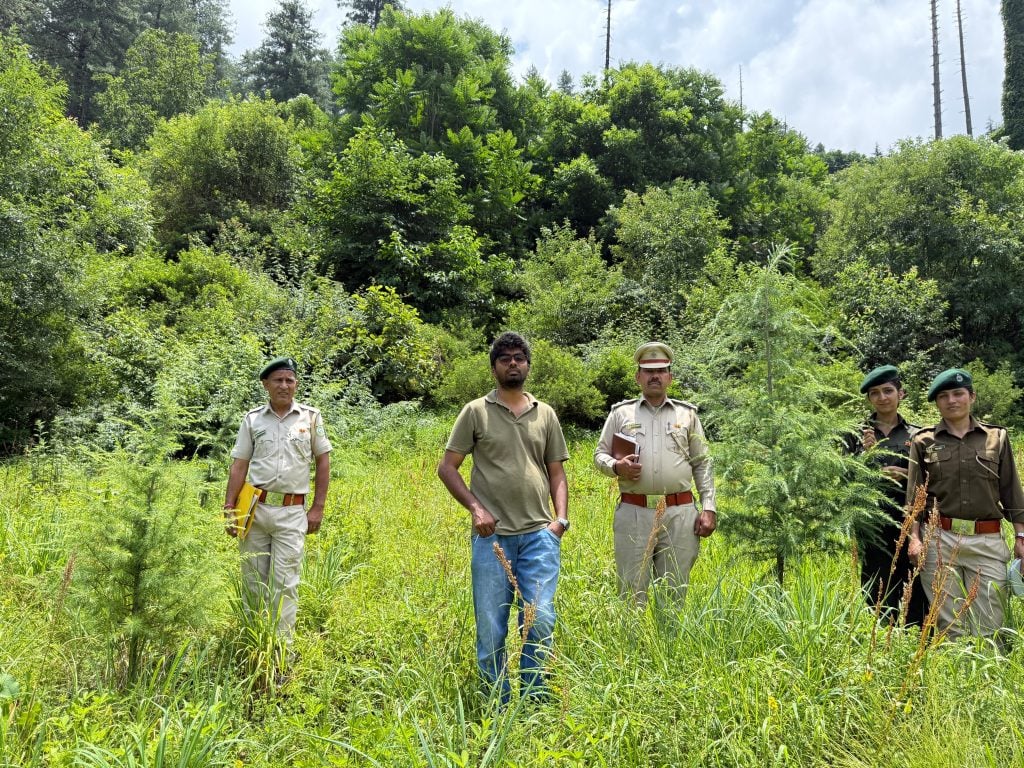
The reclaimed land has to remain protected, fenced, documented and restored. Plantation has to mature. Soil and moisture conservation work has to continue. Forest staff have to keep returning to these areas.
The ambition is to see the difference not merely in files, maps or boundary pillars, but on the ground over the next decade or two.
“It is not just paperwork. We are installing barbed-wire fencing and taking up exclusive plantation programmes for evicted areas. For the next five or six years, forest staff will keep visiting these areas, and over a longer period of 10 to 20 years, the idea is to see forest cover coming up so that it is not just a forest on paper, but a green patch on the ground,” Sarma told Indian Masterminds.
That perhaps captures the larger significance of the Rohru experiment. A forest boundary is easy to draw on a map; keeping it intact requires records, people, law, technology and years of follow-up.
In Rohru, the attempt has been to bring all of those pieces together: 100 hectares reclaimed, 475 boundary pillars installed, thousands of records digitised and previously encroached landscapes placed on a path towards ecological recovery.
Also read: How IFS Dharam Singh Meena Revived Uttarakhand’s Heval River Through Science and Forest Restoration