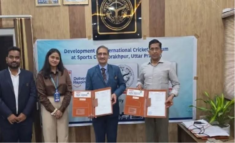
Raipur: The Chhattisgarh government has signed two Memoranda of Understanding (MoUs) with the Bhaskaracharya National Institute for Space Applications and Geo-informatics (BISAG-N) and National Logistics Data Services Ltd (NLDSL) to strengthen geospatial technology and integrated logistics data under the PM GatiShakti National Master Plan.
The agreements were signed on August 20 during the PM GatiShakti and LEADS 2025 Dissemination Workshop, jointly organised by the state Commerce and Industries Department and the Department for Promotion of Industry and Internal Trade (DPIIT).
The partnerships are aimed at supporting infrastructure planning, logistics management, investment and industrial development in the state.
CM Highlights Role of PM GatiShakti
Chief Minister Vishnu Deo Sai said the PM GatiShakti framework has strengthened data-driven decision-making in Chhattisgarh by helping the government identify connectivity and logistics gaps and plan infrastructure.
“This has been helping create stronger conditions for investment and sustainable economic growth,” Sai said.
The workshop was attended by officials from DPIIT and NLDSL, along with representatives from Bihar, Odisha, Maharashtra, Goa, Uttar Pradesh, Madhya Pradesh and Jharkhand.
Chhattisgarh Maps Over 600 Data Layers
The state has expanded its use of the PM GatiShakti platform across government departments.
Key developments highlighted at the workshop include:
- 35+ state departments onboarded onto the platform.
- 41 mandatory and more than 600 additional data layers mapped.
- 45 use cases and 30 tools developed for infrastructure and development planning.
- GIS-based mapping being used to identify road black spots and target road-safety interventions.
- Data being used to identify villages with inadequate banking access and optimise bus routes.
Geospatial Technology Used Across Development Projects
The state has also applied geospatial data to several infrastructure and public-service initiatives.
Around 600 mobile towers have been installed to improve connectivity at tourism locations, while 700 acres in Nava Raipur have been finalised under the Bhavya Scheme.
The Forest Department’s ‘Gaj Sanket’ app is another application of geospatial technology, using location-based information to support measures aimed at reducing human-elephant conflict.
Chhattisgarh Recognised in LEADS 2025
Chhattisgarh was identified as a high performer among landlocked states in the DPIIT’s LEADS 2025 assessment.
The workshop also highlighted the state’s progress in operationalising PM GatiShakti as a platform for integrating departmental data and supporting infrastructure and logistics planning.
Read Also: Chhattisgarh Plans AI Learning Modules for Tribal Students, Eyes Future-Ready Education