Hyderabad: In a major push towards digital transformation and sustainable mining, Coal India Limited (CIL) has signed a strategic Memorandum of Understanding (MoU) with the National Remote Sensing Centre (NRSC), a key arm of the Indian Space Research Organisation (ISRO), to develop an advanced AI-powered satellite-based geospatial dashboard.
The next-generation platform will enhance the monitoring, visualization, and environmental auditing of mining operations across all Coal India leaseholds and subsidiaries. By integrating satellite imagery, artificial intelligence, and predictive analytics, the initiative aims to improve operational efficiency, strengthen regulatory compliance, and promote environmentally responsible mining practices.
Coal India and NRSC-ISRO Join Hands for Smart Mining
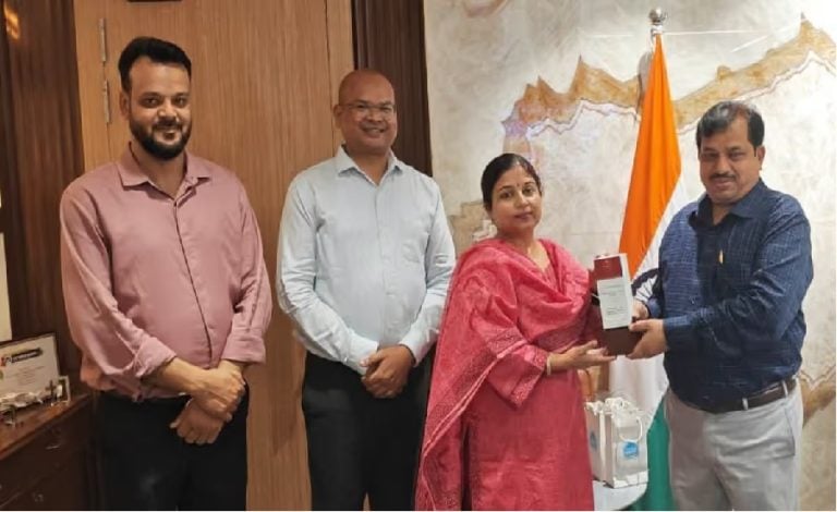
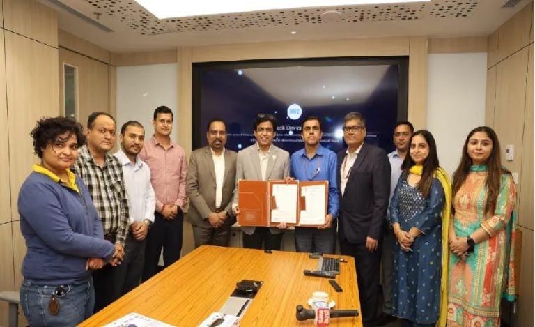
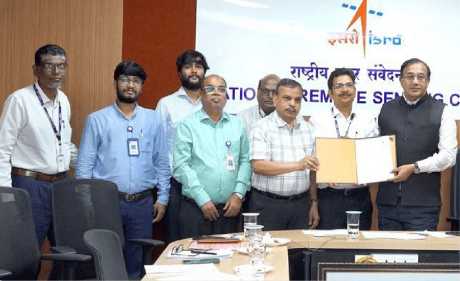
The agreement was signed during a virtual ceremony connecting the NRSC team in Hyderabad with Coal India’s corporate headquarters in Kolkata.
The MoU was executed in the presence of Mr. Achyut Ghatak, Director (Technical), Coal India Limited, and Dr. Prakash Chauhan, Director, NRSC, marking a significant collaboration between India’s largest coal producer and the country’s premier space technology organization.
The project will use high-resolution mine block boundary data provided by the Central Mine Planning and Design Institute (CMPDI) to build a comprehensive geospatial monitoring platform.
Read also: Coal India and UPRVUNL Form JV to Develop Solar, Wind and Pumped Storage Projects in Uttar Pradesh
AI-Powered Geospatial Dashboard to Transform Mining Operations
The satellite-based dashboard is designed to provide real-time monitoring and digital oversight of mining activities across Coal India’s operational areas.
The platform will enable authorities to:
- Monitor mine closure activities and compliance.
- Track land reclamation and environmental restoration projects.
- Assess the progress of afforestation and green cover development.
- Digitally monitor mining operations within approved lease boundaries.
- Detect and prevent unauthorized mining outside legally permitted areas.
- Map Rehabilitation and Resettlement (R&R) colonies and project-affected regions.
The integrated system will improve transparency while supporting data-driven decision-making across Coal India’s mining network.
Advanced AI, Machine Learning and Predictive Analytics
A key feature of the project is the integration of advanced technologies into ISRO’s Bhuvan Analytical Dashboard.
The platform will leverage:
- Artificial Intelligence (AI)
- Machine Learning (ML)
- Deep Learning
- Predictive Analytics
- Automated Change Detection
- Advanced Geospatial Analytics
These technologies will automate the analysis of satellite imagery, enabling faster detection of changes in mining areas and improving monitoring accuracy across active coalfields.
Special Focus on Jharia Coalfield Underground Fires
One of the most significant aspects of the collaboration is its dedicated focus on addressing the long-standing underground coal fires in Jharkhand’s Jharia Coalfield.
Using multi-spectral satellite imagery combined with AI-driven predictive models, the platform will:
- Detect active underground coal fires.
- Predict the likely direction of fire propagation.
- Simulate future fire spread scenarios.
- Generate precise geospatial intelligence for field teams.
- Help authorities implement targeted containment measures before fires spread to nearby coal seams, infrastructure, or residential areas.
This proactive approach is expected to significantly improve fire management and reduce environmental as well as safety risks in one of India’s most challenging coal mining regions.
Supporting Sustainable and Responsible Mining
The AI-enabled dashboard will also strengthen Coal India’s environmental governance by continuously monitoring ecological restoration efforts.
The platform will help verify:
- Mine reclamation progress.
- Expansion of green cover and afforestation projects.
- Compliance with environmental regulations.
- Land-use changes within mining lease areas.
By combining satellite technology with AI-based analytics, Coal India aims to enhance transparency while supporting sustainable mining practices aligned with national environmental goals.
Digital Monitoring to Improve Regulatory Compliance
The geospatial platform will establish an automated surveillance system capable of identifying mining activities beyond approved leasehold boundaries.
This digital monitoring framework is expected to improve regulatory compliance, reduce illegal mining activities, and provide authorities with real-time actionable intelligence for better mine management.
A Major Step Towards Technology-Driven Mining
The collaboration represents a significant milestone in India’s mining sector by bringing together space technology, artificial intelligence, and geospatial intelligence for large-scale mining operations.
The AI-powered satellite dashboard is expected to improve operational efficiency, enhance environmental protection, strengthen mine safety, and support smarter decision-making through continuous satellite-based monitoring.
The initiative also reflects Coal India’s commitment to adopting advanced technologies that promote sustainable resource management while ensuring responsible mining practices across the country.
About Coal India Limited
Coal India Limited (CIL) is India’s largest coal-producing company and a Maharatna Central Public Sector Enterprise under the Ministry of Coal. Headquartered in Kolkata, the company accounts for over 80% of the country’s domestic coal production through its subsidiaries operating across multiple coalfields.
Coal India plays a vital role in ensuring India’s energy security by supplying coal to power, steel, cement, and other core industries while increasingly focusing on sustainability, mine modernization, and digital transformation.
About ISRO and NRSC
The Indian Space Research Organisation (ISRO) is India’s national space agency, responsible for developing space technology for scientific, commercial, and national development purposes. The National Remote Sensing Centre (NRSC), based in Hyderabad, is one of ISRO’s premier centres specializing in satellite remote sensing, geospatial mapping, earth observation, and data analytics.