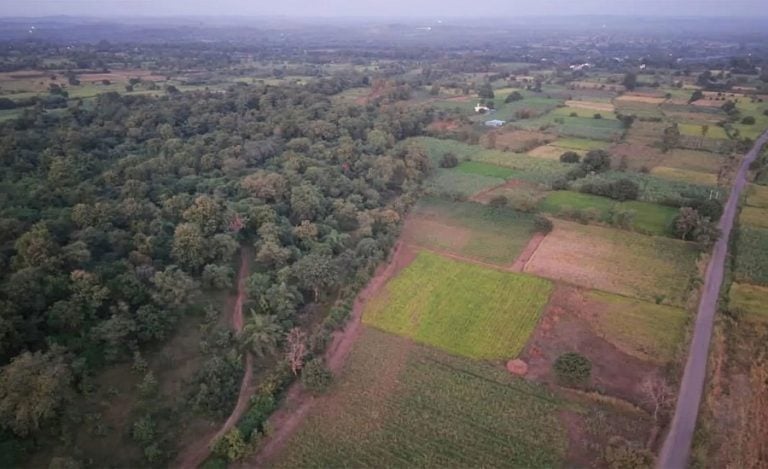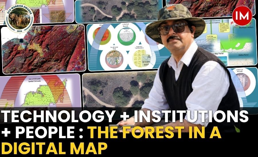
A forest boundary may look like a simple line on a map. On the ground, however, that line can decide the fate of thousands of hectares, affect land rights, shape conservation efforts and even become part of a legal dispute.
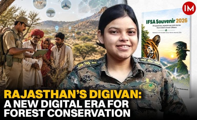
For Mr. Ashok Kumar Jain, IFS, this understanding came from a combination of science and field experience. With over three decades in forestry and nearly 25 years of work with GIS, Remote Sensing and geospatial technology, he has seen how technology can change the way forests are understood and managed.
Mr. Jain is an IFS officer of the 2023 batch and Rajasthan cadre and is currently posted as DCF (IT, GIS & e-Governance), Jaipur. His work has focused on bringing technology closer to everyday forest administration.
Speaking to÷ Indian Masterminds, Mr. Jain explains how GIS has moved beyond being a mapping tool and is emerging as a powerful decision-support system for forest governance.
WHEN GIS BECAME MORE THAN A MAP
Mr. Jain’s interest in geospatial technology was shaped by his academic background in Physics and Remote Sensing & GIS, but it was his years in the field that showed him its larger potential.
Forest management involves many questions about location. Where exactly does a forest boundary lie? Which revenue parcel falls within it? What has changed at a particular location? How does the landscape look at different scales? How do historical records compare with what is visible today?
These are fundamentally spatial questions.
“My academic background in Physics and later in Remote Sensing & GIS helped me understand the scientific potential of the technology, but field experience showed me its practical value,” Mr. Jain told Indian Masterminds.
He believes GIS should not remain restricted to preparing maps. It should help officers solve real problems, from identifying encroachments to understanding boundaries and planning interventions.
BUILDING A DIGITAL FOREST DATABASE
One of the major initiatives associated with this approach is the creation of a cadastral-scale digital forest database covering nearly 30,162 sq. km across 54 Forest Divisions and around 6,800 forest blocks. The database also includes Protected Areas and Tiger Reserves and is expected to eventually cover around 33,000 sq. km.
Creating such a database was not simply a matter of scanning old maps.
Forest records have been created and maintained over decades. They often use different map scales, coordinate systems and formats. The quality of historical records can also vary. Since forest boundaries have administrative as well as legal significance, accuracy is critical.
The new database brings these different records into a common digital framework.
An officer can now connect a forest boundary with the relevant revenue parcel, village, administrative unit and other spatial information. This changes the nature of decision-making.
Instead of asking only, “Where is the boundary?”, officials can ask which parcel is involved, which records apply and what evidence is available.
It is a shift from map-based administration to evidence-based spatial governance.
ONE PLATFORM FOR FOREST LAND GOVERNANCE
This approach is further strengthened by the Forest Map Portal, which brings together forest boundaries, protected areas, satellite imagery, revenue records and administrative information.
The portal works through RajDharaa, the State GIS platform, creating a common geospatial framework.
For encroachment monitoring, satellite imagery can show changes on the ground, while cadastral information helps identify the corresponding parcel. Field records and departmental information can then be examined alongside the spatial evidence.
The same approach can help officials examine boundary disputes and verify forest land records.
Mr. Jain is also careful to point out that technology does not replace the law.
“A geospatial database does not by itself determine legal title. Its value is that it provides a consistent spatial evidence framework for investigation, verification and management,” he said.
The larger benefit is consistency. Officers working at different levels can refer to the same authoritative spatial information.
GIVING FOREST OFFICERS BETTER EYES
Drones, GPS, satellite imagery and other technologies have also changed field monitoring. Satellite imagery can reveal changes in vegetation and land use over time. GPS-enabled observations provide precise locations. Drones can offer detailed images of selected areas. But Mr. Jain does not see technology as a replacement for the field staff.
“Satellite imagery tells us where to look; GIS tells us what that location relates to; drones provide detailed visual evidence; and field teams provide ground truth,” he explained.
This combination can reveal patterns that may not be visible through an individual field visit. A forester may observe one location closely during a field inspection. Satellite imagery, on the other hand, can show what is happening across a much larger landscape and how that landscape has changed over time.
The real strength comes from combining both forms of knowledge.
TECHNOLOGY MUST OUTLIVE THE OFFICER
For any technological project to succeed, Mr. Jain believes the system must become part of the institution rather than remain associated with one officer. This was one of the reasons behind the establishment of the Rajasthan Forest Geo-Spatial Centre. The centre creates institutional capacity for managing geospatial data, technology, standards and expertise. But infrastructure alone is not enough.
Forest officers and frontline personnel must also understand GIS, GPS, remote sensing and digital systems well enough to use them in their daily work. India is also seeing rapid expansion in the availability of geospatial data. With developments such as EOS-05, freely available datasets from NISAR through the Bhoonidhi portal, and the CORS network of the Survey of India, the possibilities for forest management are expanding.
Mr. Jain sums up his approach simply: “Technology + institution + people. Technology provides capability, institutions provide continuity, and trained people convert technology into meaningful action.”
FROM DIGITAL MAPS TO INTELLIGENT FORESTS
The next phase, according to Mr. Jain, should be about moving from digital mapping to intelligent and predictive forest governance. India already possesses enormous quantities of geospatial information. The challenge is to connect these datasets and turn them into actionable intelligence.
High-resolution satellite imagery, drones, LiDAR, field observations, cadastral records, historical data and AI could work together to create continuously updated information about forest landscapes. His vision is a Digitally Intelligent & Scientific Forestry Management System that can show not only what has happened, but what is happening and what could happen next.
“The objective is not technology for technology’s sake. It is to give every forest manager better tools and sufficient evidence for better decisions—and ultimately give forests a stronger voice in governance,” Mr. Jain told Indian Masterminds. For India’s forests, that could be the next big transformation: moving from static maps to living digital landscapes, where science, field knowledge and technology work together to make forest governance more accurate, transparent and future-ready.
Also Read – Beyond the Harvest: How Modern Warehousing Can Power India’s Next Green Revolution